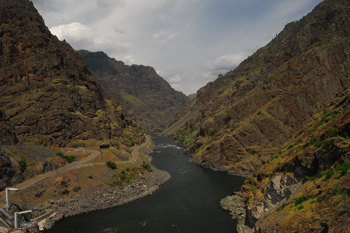
Hells Canyon is the Snake River gorge along the Idaho–Oregon border, best explored by choosing one river access point, a guided river trip, or an Idaho high-country outing. It is not a national park with a single entrance road. The Forest Service manages Hells Canyon National Recreation Area, and the biggest planning decision is whether you want to stand beside the river or look toward it from the mountains.
For an Idaho road trip, Pittsburg Landing, the Seven Devils uplands and the Hells Canyon Dam corridor are separate destinations. Pick one for the day rather than connecting dots across the canyon on a small-scale map. Our Idaho parks guide puts this recreation area in context with the state's other protected landscapes.
Which Hells Canyon entrance should you choose?
| Area | Choose it for | Main planning issue |
|---|---|---|
| Pittsburg Landing | Snake River access, camping and canyon scenery | A steep, narrow gravel approach from the White Bird area |
| Seven Devils uplands | Mountain scenery, wilderness trailheads and high-country camping | Mountain-road and seasonal conditions |
| Hells Canyon Dam corridor | Dam-area views and access toward the river launch | Using the correct route through the reservoir corridor |
The recreation area's official Forest Service overview separates Idaho uplands, Oregon uplands and Snake River sites. That division is useful: a campground described as being in Hells Canyon may be nowhere near the trailhead or boat launch you need.
Pittsburg Landing: a practical Idaho river destination
Pittsburg Landing puts you beside the Wild and Scenic Snake River. The boat launch is adjacent to Pittsburg Campground, and the Forest Service lists river access, fishing, camping and nearby interpretation among the area's activities. Our map pin marks the boat launch, not the center of the entire recreation area.
The approach uses Deer Creek Road, also identified as Forest Road 493, from the White Bird area. The Forest Service explicitly warns that it is steep, narrow, winding and gravel. Do not treat a campground's ability to accommodate trailers as assurance that your vehicle combination is suitable for the drive. Check conditions and discuss the approach with the managing office if you are uncertain.
For a shorter visit, the Upper Pittsburg Landing Picnic Area offers a riverbank setting. The nearby Pittsburg Rockart Interpretive Site explains Indigenous petroglyphs and pictographs. Keep your visit observational: do not touch or alter rock art, and leave artifacts where they are.
Seven Devils and the Idaho uplands
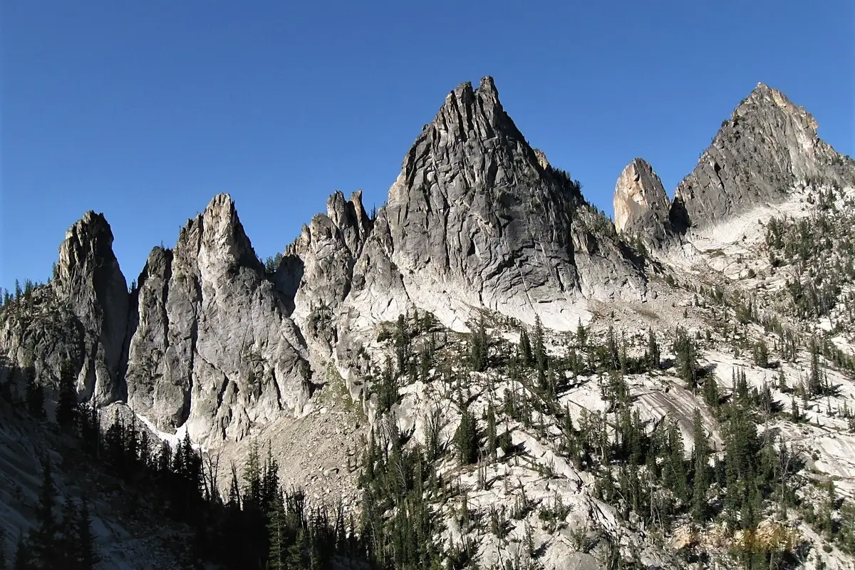
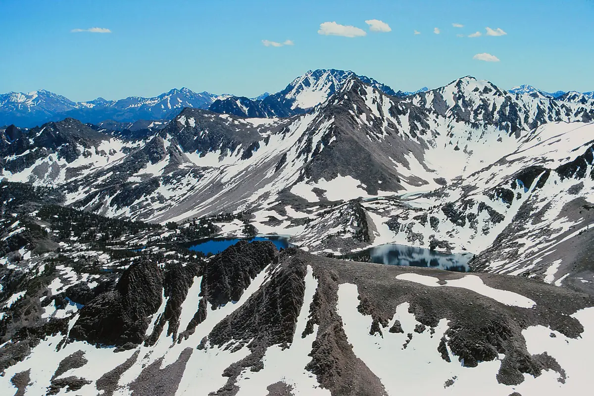
The Idaho uplands include the Seven Devils recreation area, Windy Saddle, Black Lake and Heaven's Gate. These are mountain destinations rather than interchangeable substitutes for a river launch. The Forest Service identifies them as popular parts of the Idaho side of the recreation area.
If your goal is a hike, choose the actual trailhead first and verify its approach road, current alerts and any wilderness requirements. A high-country plan needs its own clothing, weather assessment and turnaround point. For another large backcountry landscape, compare our Frank Church wilderness guide; for a different mountain recreation-area trip, see the Sawtooth National Recreation Area guide.
Boating, rafting and permits
A river trip gives a different perspective from a roadside stop, but the Snake River is not a casual float. The Forest Service says private river trips require permits year-round. Requirements depend on the activity and launch, and the Pittsburg Landing launch page specifically flags powerboat and floatboat reservations and permits.
Use the official launch page as your starting point, then follow the current permit instructions. If booking an outfitted trip, confirm the meeting location, departure requirements, cancellation terms and what equipment is supplied before arranging lodging. Do not assume every trip advertised as Hells Canyon departs from the same town.
When to go and what to pack
River-level heat and mountain conditions are separate concerns. The Forest Service warns of very hot summer temperatures at Upper Pittsburg Landing, along with poison ivy and occasional rattlesnakes. Bring drinking water, sun protection and footwear appropriate for uneven ground. Watch where you place hands and feet around rocks and vegetation.
For mountain outings, check snow, weather, fire restrictions and access immediately before travel. Save directions offline and carry a paper backup; the essential point is knowing your chosen entrance before leaving services. Avoid making a late-day drive down an unfamiliar canyon road simply because a map suggests a nearby attraction.
Camping and an achievable first visit
Pittsburg Campground is a developed option overlooking the Snake River. Its official page describes accessible campsites and toilets, with drinking water available seasonally and subject to weather. Confirm the current water situation rather than relying on a calendar alone. Bring your own supply when availability matters to the trip.
A sensible first visit is one access corridor, one main activity and enough daylight for the return. Use Grangeville as one regional planning reference rather than a promise of proximity to every canyon entrance. If another river adventure is part of a longer itinerary, compare the separate Salmon River guide before committing to consecutive travel days.