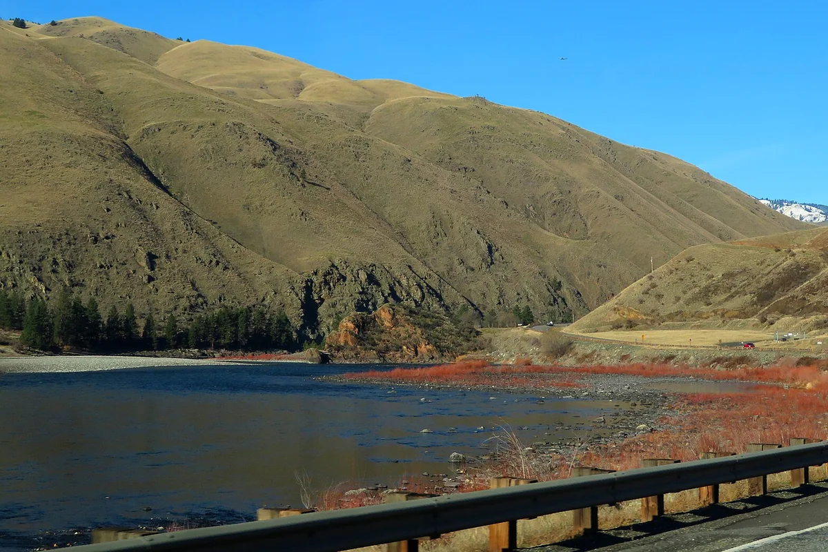
Idaho river flows
USGS instantaneous discharge, fetched when this site is built. Read the observation time: these are not guaranteed live readings. Provisional data may be revised; flow alone does not establish boating or swimming safety.
| River & gauge | Discharge | Observed | Status |
|---|---|---|---|
| Boise River USGS 13206000 | 264 ft³/s | 2026-11-19T20:45:00.000-07:00 | Recent observation |
| South Fork Payette River USGS 13235000 | 329 ft³/s | 2026-11-19T20:30:00.000-07:00 | Recent observation |
| North Fork Payette River USGS 13246000 | 287 ft³/s | 2026-11-19T21:00:00.000-07:00 | Recent observation |
| Main Salmon River USGS 13317000 | 4,240 ft³/s | 2026-11-19T19:45:00.000-08:00 | Recent observation |
| Middle Fork Salmon River USGS 13310199 | 1,010 ft³/s | 2026-11-19T20:45:00.000-07:00 | Recent observation |
| Lochsa River USGS 13337000 | 561 ft³/s | 2026-11-19T20:00:00.000-08:00 | Recent observation |
| Snake River (Hells Canyon) USGS 13290450 | — | Unavailable | No live gauge |
| Selway River USGS 13336500 | 724 ft³/s | 2026-11-19T20:00:00.000-08:00 | Recent observation |
| St. Joe River USGS 12414500 | 424 ft³/s | 2026-11-19T19:30:00.000-08:00 | Recent observation |
| Henrys Fork USGS 13042500 | 81 ft³/s | 2026-11-19T20:45:00.000-07:00 | Recent observation |
The Salmon River offers everything from day rafting near Stanley to remote, multiday wilderness trips on the Main Salmon and its Middle Fork. The most useful first decision is not which raft to book: it is which section fits your time, experience and appetite for logistics. The same river name covers very different trips.
River-access notice: A Stoddard Bridge construction order, scheduled through October 30, 2027, closes specified areas at Ebenezer Bar, Stoddard Trailhead and the bridge site. The order excludes boat traffic on the river and traffic on Salmon River Road, but shore access is affected. Check its map and current Salmon-Challis alerts when planning access or a shuttle.
Use this guide to narrow the choices, then confirm your exact launch, takeout and permit requirements with the managing agency or outfitter. For a broader route through the state, browse our Idaho things-to-do guide; for the upper river, start with Stanley.
Which Salmon River trip should you choose?
| Trip area | Best starting point for planning | Main decision |
|---|---|---|
| Upper Salmon around Stanley | A guided day trip or a riverside stop | Choose an outing for your group's ability and current flows. |
| Wild Main Salmon | A wilderness river expedition | Arrange permits, transportation and overnight equipment. |
| Middle Fork of the Salmon | A separate tributary with its own permit system | Match the trip to access conditions and remote travel. |
| Lower Salmon | BLM river information and a precise itinerary | Check the permit area, rapids and exit logistics. |
Do not interpret “float” as a promise of gentle water. A trip described that way may still involve significant whitewater, cold immersion and difficult rescue access. Ask for the actual stretch and the expected conditions, not just the marketing name.
Upper Salmon rafting near Stanley
Stanley is a practical place to investigate a shorter rafting outing while keeping a land-based itinerary. Ask outfitters which section they are running, what experience is required and whether the trip suits every participant's age and swimming ability. Water levels change the character of a run, so a general summer description is not a substitute for a current briefing.
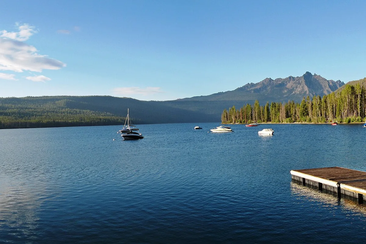
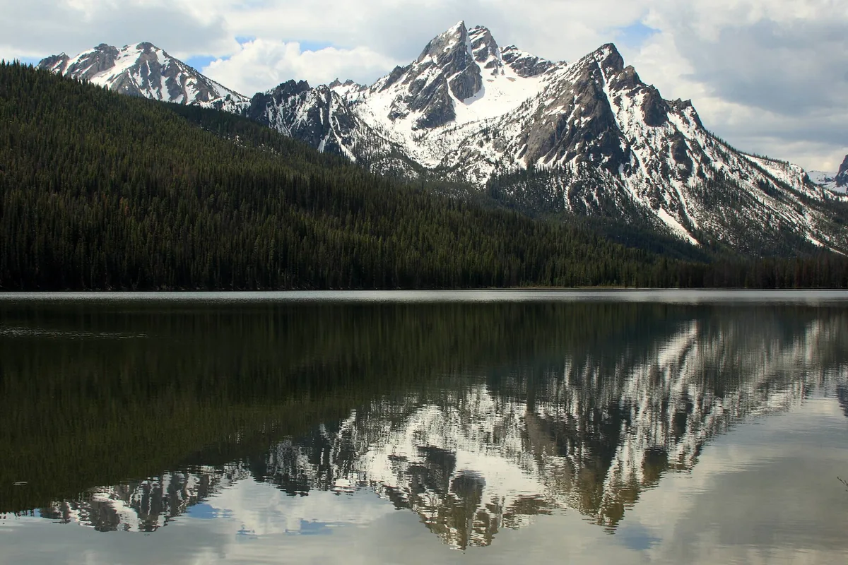
This is the easiest approach if your vacation also includes the Sawtooths. Put the river day next to a separate visit to Redfish Lake or Stanley Lake, rather than squeezing several water activities into a fixed afternoon. Leave enough flexibility to move a trip if conditions require it.
The Wild Main Salmon is an expedition
The Forest Service identifies the Wild Main Salmon as the 79-mile section from Corn Creek to Long Tom Bar. A permit is required year-round on that designated stretch. That specific boundary matters: the permit is not simply a general pass for every mile of the Salmon River.
Start with the Forest Service's Wild Main Salmon information before arranging leave or transportation. Private parties need to understand the reservation process, required equipment and operating rules. Guided guests should establish what their outfitter supplies and which travel arrangements remain their responsibility.
The upper part of the Wild segment passes through the Frank Church–River of No Return Wilderness; farther downstream the river forms the southern boundary of the Gospel Hump Wilderness. Our Frank Church wilderness guide explains the wider setting. Remote does not mean unregulated, and a beach campsite is not permission to leave a fire scar or waste behind.
The Middle Fork is a different river trip
The Middle Fork of the Salmon is a tributary, not another name for the Main Salmon. The Forest Service describes it as 104 miles long, beginning at the confluence of Bear Valley and Marsh Creeks northwest of Stanley. It has its own permit system and a landscape that changes from forested country to deep canyon.
Read the Middle Fork information separately from the Main Salmon rules. Ask specifically about the planned launch location, access contingencies and how water levels affect the itinerary. A booking labeled “Salmon River rafting” should state which river and section you will actually run.
Lower Salmon planning and permits
The Lower Salmon is another distinct planning area. The BLM's self-issue permit covers noncommercial boating below Hammer Creek, and the permit carries operating conditions that trip leaders must read. Do not assume a less competitive permit process means an easier river or a simpler evacuation.
Use the BLM Lower Salmon permit to understand the regulated area and requirements, then check current agency notices before departure. Work backward from your takeout: a river that continues toward the Snake does not deliver you back to your vehicle. Settle the shuttle before launching, including what happens if arrival is delayed.
How to compare whitewater rafting in Idaho
Ask each prospective operator the same questions so that you compare equivalent trips:
- What are the exact launch and takeout points, and how much of the day is on the water?
- What conditions would change or cancel this itinerary?
- Which participant restrictions apply to this specific departure?
- Are river clothing, personal flotation devices, meals and transportation included?
- For overnight trips, who supplies sleeping equipment and the waste system?
Pack sun protection, water and secure footwear according to the operator's instructions. Wear a properly fitted personal flotation device on the river. Keep essential medication accessible and disclose relevant medical concerns before booking. A guide needs that information before the group is at a remote launch.
Enjoying the river without launching
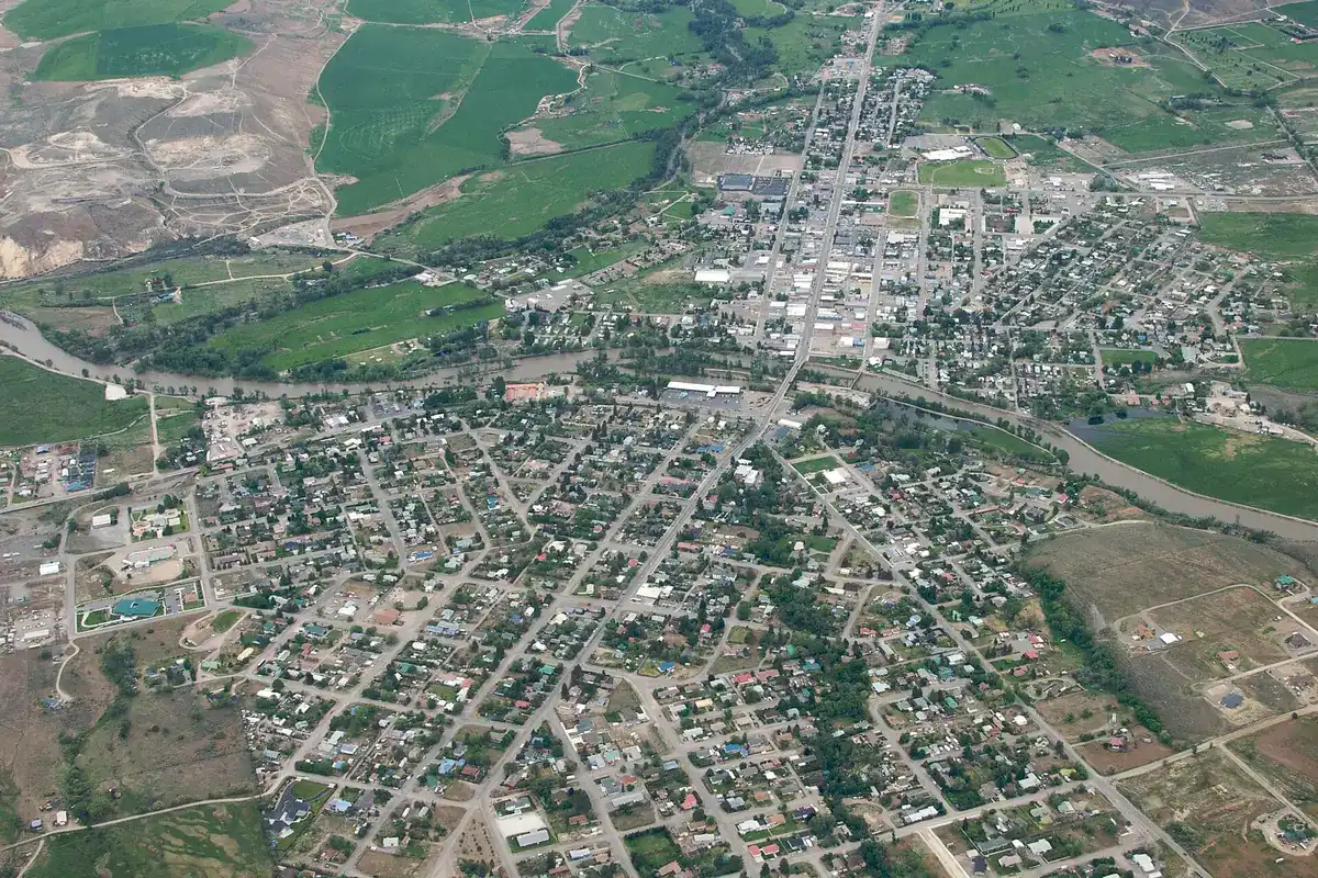
A Salmon River visit does not require a boat. Build a road trip around designated public access points and towns, and treat private riverfront land as private even when the water is visible from the highway. Salmon provides another town-based planning option beyond Stanley. Avoid stopping on narrow shoulders merely to reproduce a photograph.
The map pin for this long river marks its mouth at the Snake River, not a rafting meeting point. Navigate to your confirmed launch or outfitter instead. Before any trip, check access, weather, wildfire notices and the current river briefing; those details matter more than a fixed “best month” recommendation.