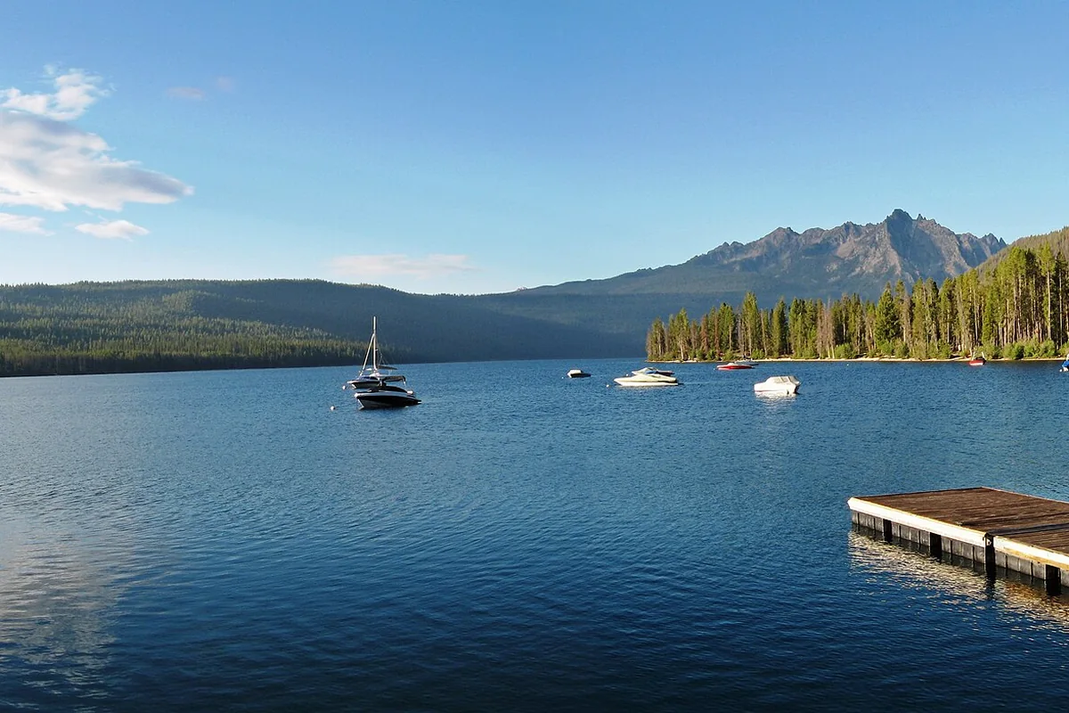
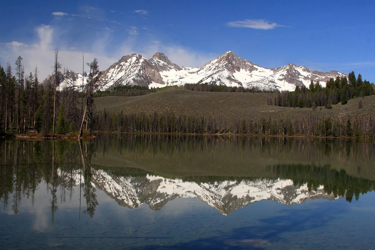
Boats on Redfish Lake beneath the Sawtooth Mountains

Plan your Idaho trip.

⌁ Ski report

❄ 15 in
❄ 5 in

NRCS station snow depth, not resort base. Station names, dates & 24h change →

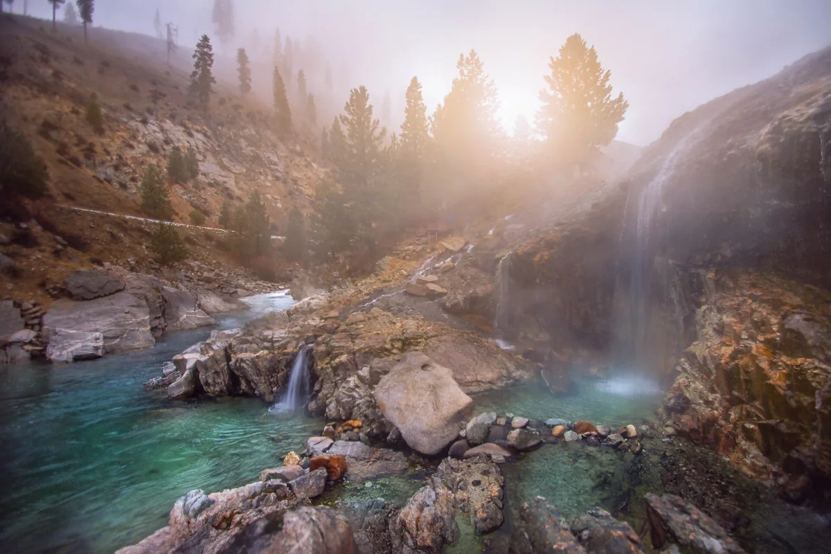
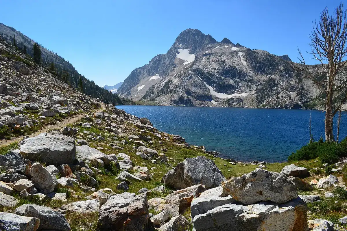
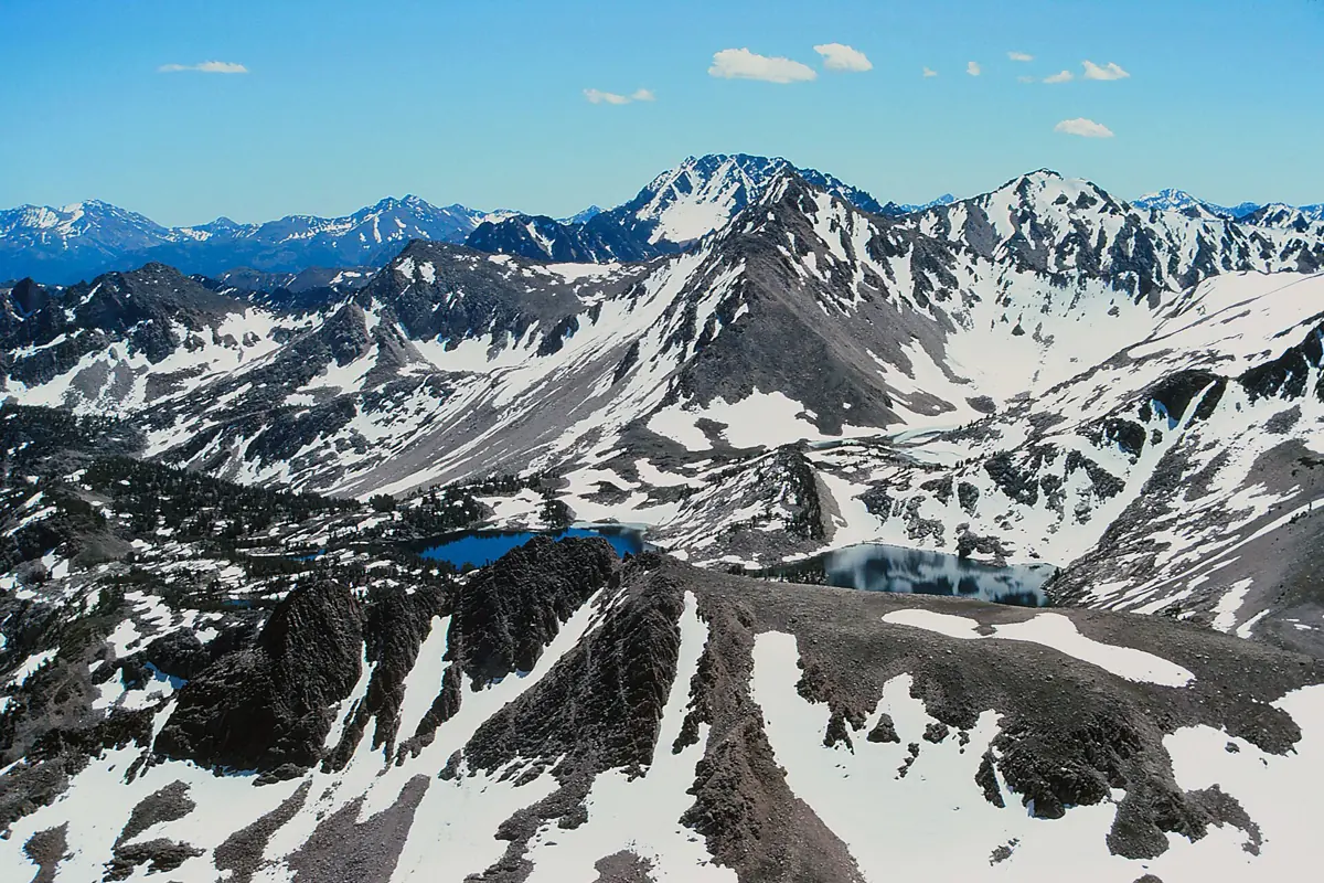
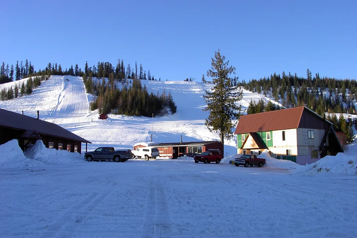
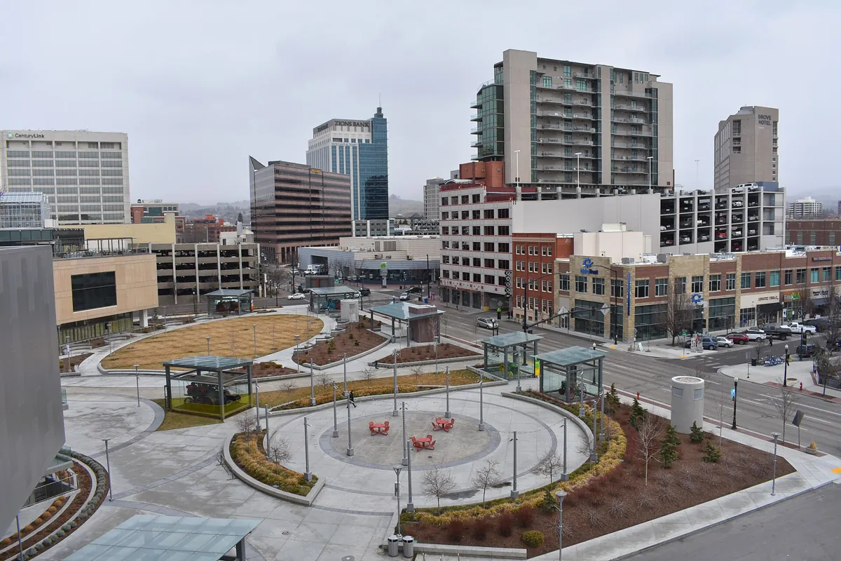
Rock-edged Kirkham Hot Springs pools and steaming cascades beside the South Fork Payette RiverHot Springs (56 locations)Sawtooth Lake and Mount Regan above a rocky shoreline in the Sawtooth WildernessHiking Trails (16 guides)Castle Peak and alpine lakes in the White Cloud Mountains of Sawtooth National Recreation Area.National Parks & Monuments (20 guides)Bald Mountain Ski Area lodge and snowy slopes near Pierce, photographed in 2004Ski Areas (19 areas)Downtown Boise skyline and JUMP buildingTown Guides (37 guides)A scene from the 2019 Treefort Music Fest in BoiseEvents (1 guide)

Featured
local partner

⌁
YOUR NEXT
BASECAMP

Your Idaho business here

Be part of someone’s next Idaho trip.
Prepaid monthly, cancel anytime.

Meet your next guests →
A little direction. A lot to discover.

Idaho, on the map.

Find a warm soak, a mountain town
or the start of your next trail.

Select a pin for a guide. Map: © OpenStreetMap contributors. Locations are planning aids, not navigation or access permission.

Fresh from the guidebook

All Idaho guides →
A check before the river

Idaho river flows

USGS instantaneous discharge, fetched when this site is built. Read the observation time: these are not guaranteed live readings. Provisional data may be revised; flow alone does not establish boating or swimming safety.

River & gaugeDischargeObservedStatus
Boise River
USGS 13206000
264 ft³/s2026-11-19T20:45:00.000-07:00Recent observation
South Fork Payette River
USGS 13235000
329 ft³/s2026-11-19T20:30:00.000-07:00Recent observation
North Fork Payette River
USGS 13246000
287 ft³/s2026-11-19T21:00:00.000-07:00Recent observation
Main Salmon River
USGS 13317000
4,240 ft³/s2026-11-19T19:45:00.000-08:00Recent observation
Middle Fork Salmon River
USGS 13310199
1,010 ft³/s2026-11-19T20:45:00.000-07:00Recent observation
Lochsa River
USGS 13337000
561 ft³/s2026-11-19T20:00:00.000-08:00Recent observation
Snake River (Hells Canyon)
USGS 13290450
—UnavailableNo live gauge
Selway River
USGS 13336500
724 ft³/s2026-11-19T20:00:00.000-08:00Recent observation
St. Joe River
USGS 12414500
424 ft³/s2026-11-19T19:30:00.000-08:00Recent observation
Henrys Fork
USGS 13042500
81 ft³/s2026-11-19T20:45:00.000-07:00Recent observation
Homepage photo credits
Five ways into Idaho

Pick a region.
Find your kind of outside.