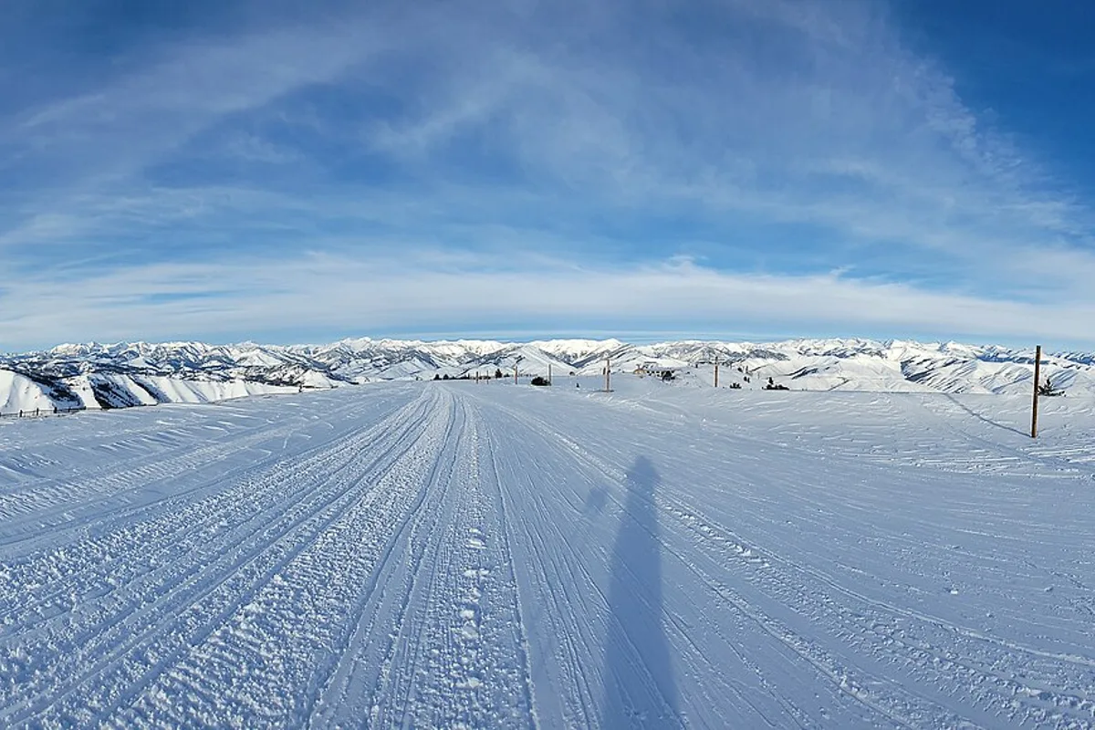
Idaho
Idaho Ski Resorts and Ski Hills by Region
Find the right Idaho ski area by travel region, terrain needs, and lodging style, from destination resorts to small community hills.
Plan your visit → idaho
The statewide guide to Idaho:
hot springs, hiking, national parks,
skiing and every town.
Skiing in Idaho ranges from destination mountains to smaller local areas, and choosing one starts with the trip you want to make. This planner brings the ski-area guides, mountain locations and nearby snow measurements together in one place. The report below uses NRCS SNOTEL observations from the station nearest each mapped ski area. That is useful regional context, but it is not the resort’s reported base, an on-mountain forecast or a measure of new snowfall. Station elevation and terrain can differ substantially from the slopes. Open the individual mountain guide for travel context, then check the resort directly for opening plans, operating lifts and terrain.
Our guides favor practical choices over a race to cover the most ground. Read the summary first, use the source links for details that can change, and compare nearby destinations before setting the day’s schedule.
Maps and reference data are planning aids, not live access reports. Weather, seasonal roads and local operations can alter a visit. If a condition is important to your plans, confirm it directly before traveling.
Snow depth at the nearest SNOTEL station — not the resort’s reported base. Station name and elevation appear for every area. A 24-hour depth change is not snowfall: wind, settling and melt affect it. Measurements can lag; always read the observation date and check the resort’s own operations report.
| Sun Valley (Bald Mountain) | Chocolate Gulch 6,310 ft · 7.2 mi from area reference NRCS observations ↗ | 4 in 4 in snow depth | +3 in | 2026-11-18 |
| Bogus Basin | Bogus Basin 6,370 ft · 0.3 mi from area reference NRCS observations ↗ | 15 in 15 in snow depth | +4 in | 2026-11-18 |
| Brundage Mountain | Brundage Reservoir 6,280 ft · 2.8 mi from area reference NRCS observations ↗ | 9 in 9 in snow depth | -1 in | 2026-11-18 |
| Tamarack Resort | Long Valley 4,890 ft · 8.4 mi from area reference NRCS observations ↗ | 1 in 1 in snow depth | +0 in | 2026-11-18 |
| Schweitzer | Schweitzer Basin 6,090 ft · 0.9 mi from area reference NRCS observations ↗ | 5 in 5 in snow depth | +1 in | 2026-11-18 |
| Silver Mountain | Sunset 5,570 ft · 14.4 mi from area reference NRCS observations ↗ | 4 in 4 in snow depth | -3 in | 2026-11-18 |
| Lookout Pass | Lookout 5,180 ft · 0.2 mi from area reference NRCS observations ↗ | 4 in 4 in snow depth | +0 in | 2026-11-18 |
| Kelly Canyon | Pine Creek Pass 6,710 ft · 21.6 mi from area reference NRCS observations ↗ | 4 in 4 in snow depth | -3 in | 2026-11-18 |
| Pebble Creek | Pebble Creek 6,520 ft · 3.4 mi from area reference NRCS observations ↗ | 1 in 1 in snow depth | +0 in | 2026-11-18 |
| Pomerelle Mountain Resort | Howell Canyon 8,010 ft · 0.4 mi from area reference NRCS observations ↗ | 5 in 5 in snow depth | -2 in | 2026-11-18 |
| Magic Mountain | Magic Mountain 6,940 ft · 0.6 mi from area reference NRCS observations ↗ | 9 in 9 in snow depth | -1 in | 2026-11-18 |
| Soldier Mountain | Soldier R.S. 5,780 ft · 0.2 mi from area reference NRCS observations ↗ | 1 in 1 in snow depth | +1 in | 2026-11-18 |
| Grand Targhee | Grand Targhee 9,260 ft · 1.7 mi from area reference NRCS observations ↗ | 13 in 13 in snow depth | +0 in | 2026-11-18 |
| Lost Trail Powder Mountain | Saddle Mtn. 7,890 ft · 0.8 mi from area reference NRCS observations ↗ | 9 in 9 in snow depth | -1 in | 2026-11-18 |
| Snowhaven | Mountain Meadows 6,340 ft · 43.1 mi from area reference NRCS observations ↗ | 6 in 6 in snow depth | -1 in | 2026-11-18 |
| Cottonwood Butte | Pierce R.S. 3,080 ft · 42.7 mi from area reference NRCS observations ↗ | 1 in 1 in snow depth | +0 in | 2026-11-18 |
| Little Ski Hill | Bear Basin 5,350 ft · 1.8 mi from area reference NRCS observations ↗ | 3 in 3 in snow depth | +0 in | 2026-11-18 |
| Bald Mountain Ski Area (Pierce) | Shanghi Summit 4,590 ft · 6.1 mi from area reference NRCS observations ↗ | 4 in 4 in snow depth | +0 in | 2026-11-18 |
| Rotarun | Dollarhide Summit 8,390 ft · 17.1 mi from area reference NRCS observations ↗ | 14 in 14 in snow depth | +4 in | 2026-11-18 |
Select a pin for a guide. Map: © OpenStreetMap contributors. Locations are planning aids, not navigation or access permission.
Find the right Idaho ski area by travel region, terrain needs, and lodging style, from destination resorts to small community hills.
Plan your visit →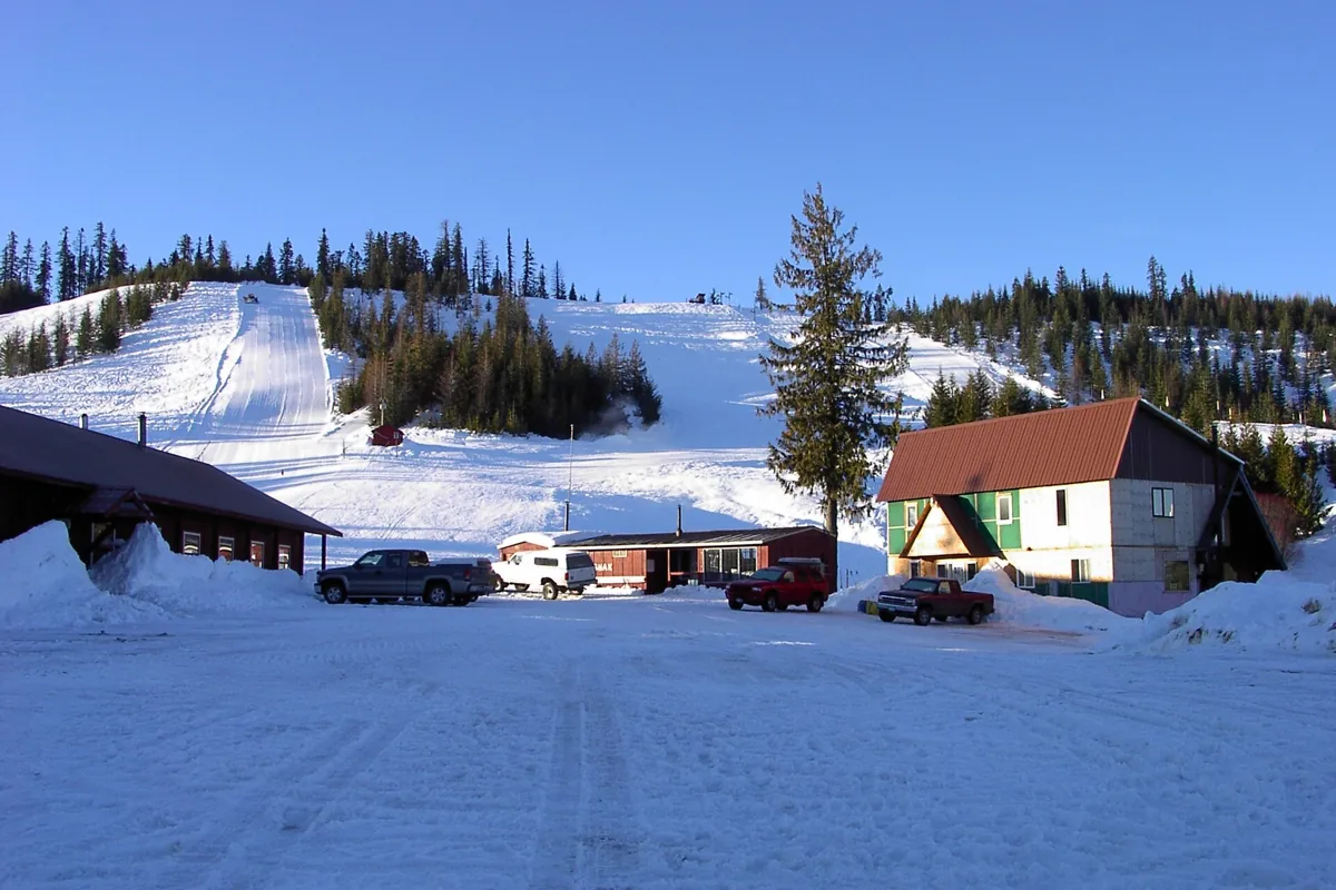
The Clearwater Ski Club's north-central Idaho hill has 140 acres and two surface lifts. It is not Sun Valley's Bald Mountain.
Plan your visit →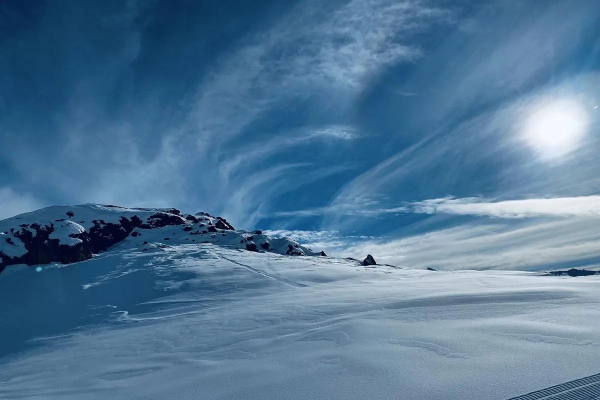
Choose a mountain by the trip you want, then compare all 19 Ski Idaho member areas, including Wyoming’s Idaho-accessed Grand Targhee.
Plan your visit →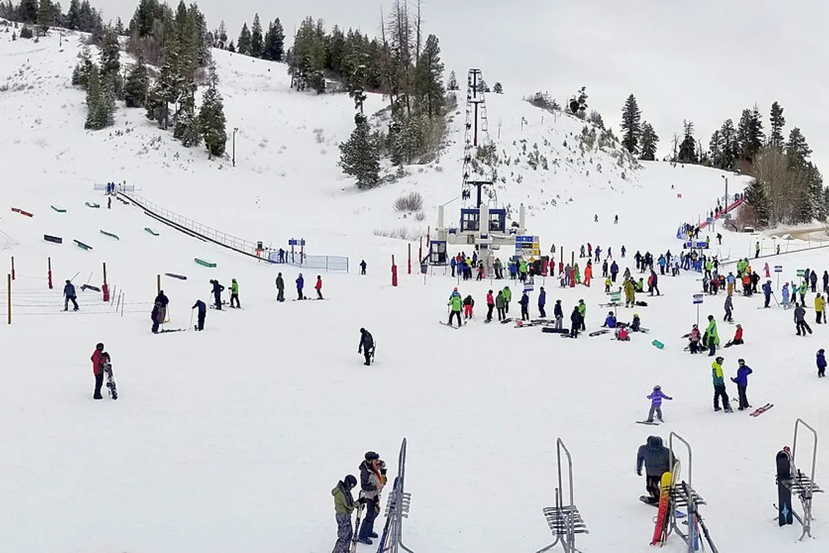
Boise's nonprofit mountain combines broad alpine terrain with beginner areas and night skiing. Plan the right session, lesson, and winter drive.
Plan your visit →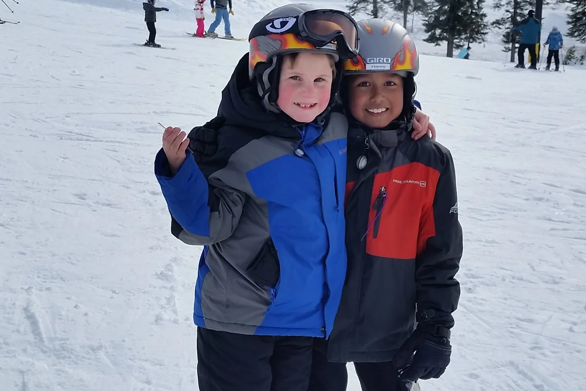
A McCall-based ski trip with dedicated learning terrain, varied lift-served skiing, and a clear distinction between patrolled slopes and backcountry.
Plan your visit →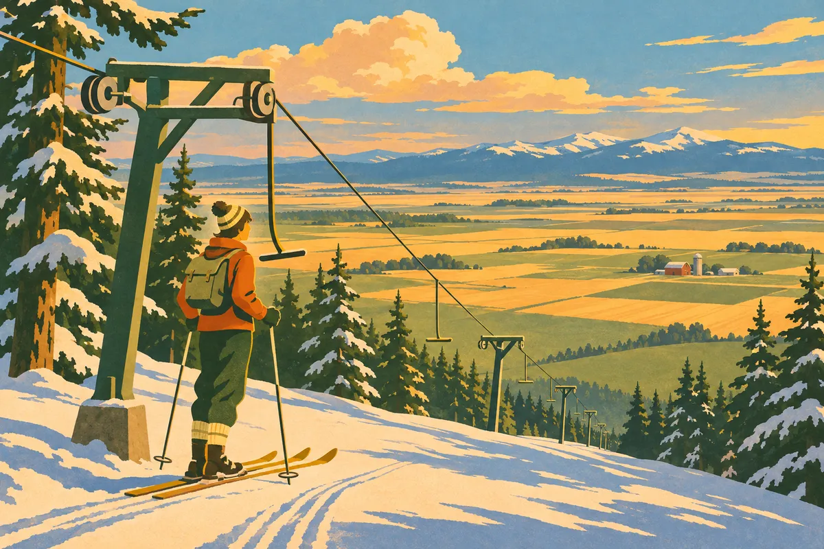
A small Camas Prairie ski area with substantial main-hill vertical and surface lifts. Current opening confirmation matters more than a standing calendar.
Plan your visit →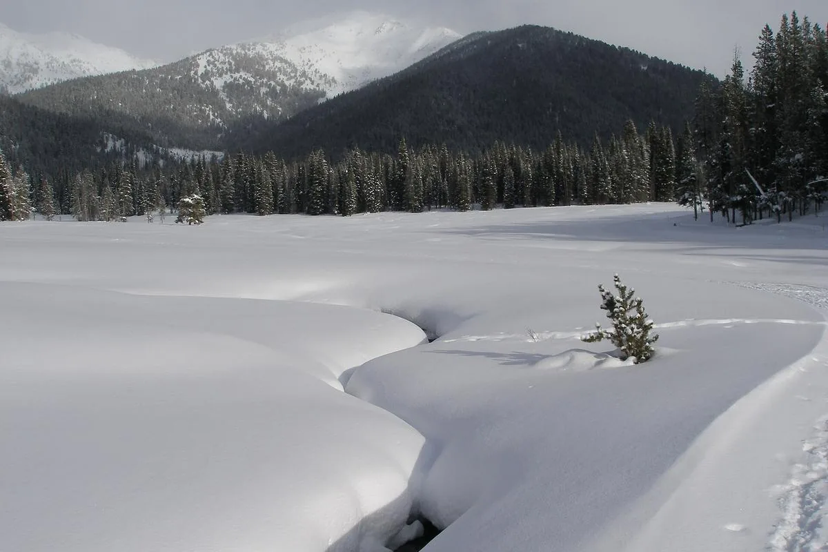
A practical guide to choosing a groomed Nordic network or a quieter Park N’ Ski outing, with permit and equipment distinctions.
Plan your visit →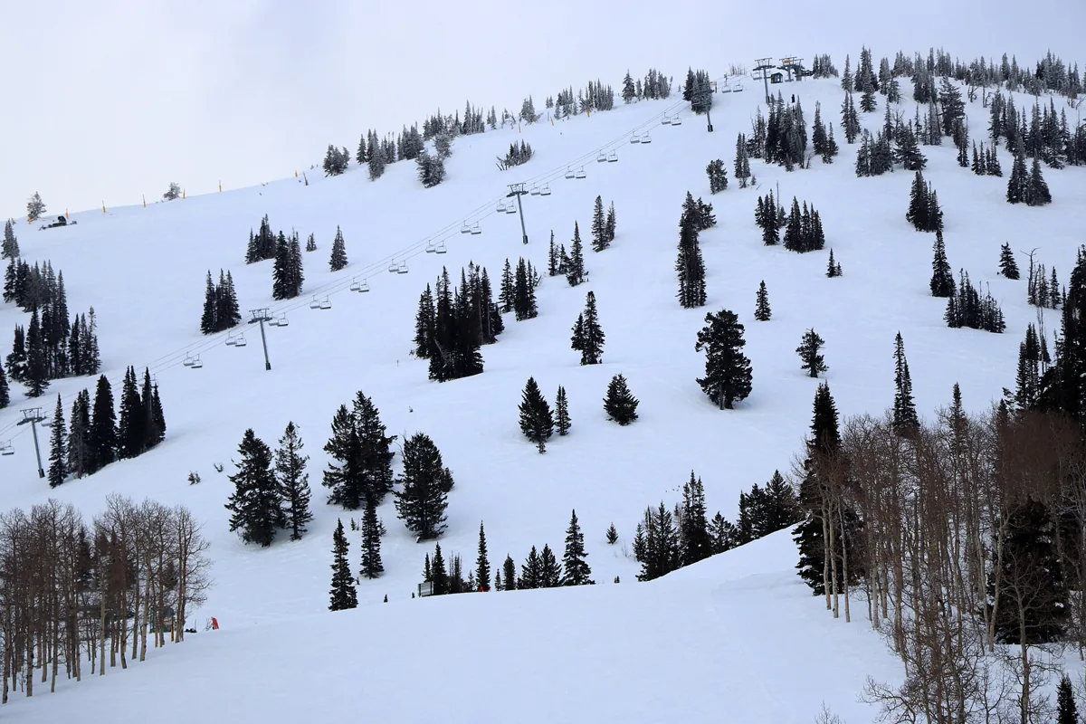
A Wyoming ski resort reached by road through Idaho’s Teton Valley. Plan the right side of the Tetons, choose a Driggs or mountain base, and leave room for winter weather.
Plan your visit →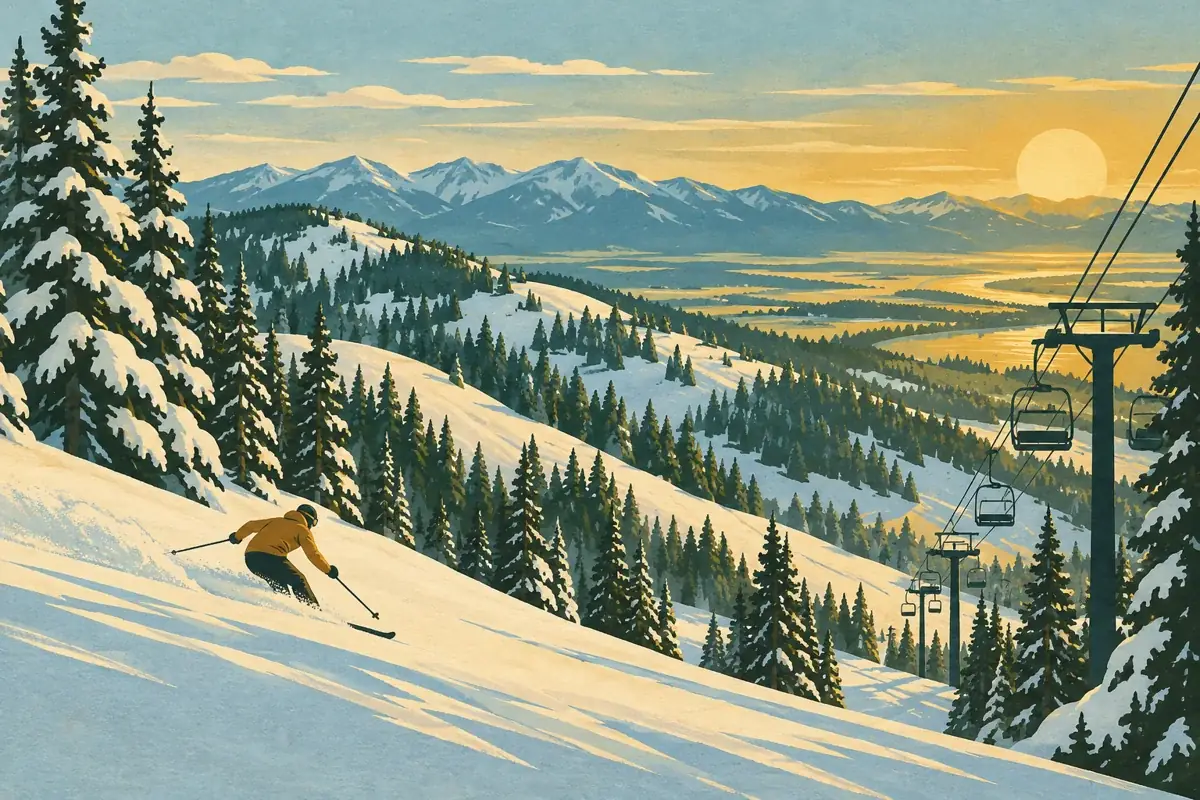
Kelly Canyon pairs eastern Idaho downhill skiing with lessons, rentals and night-skiing options. Use current resort reports to choose your day and terrain.
Plan your visit →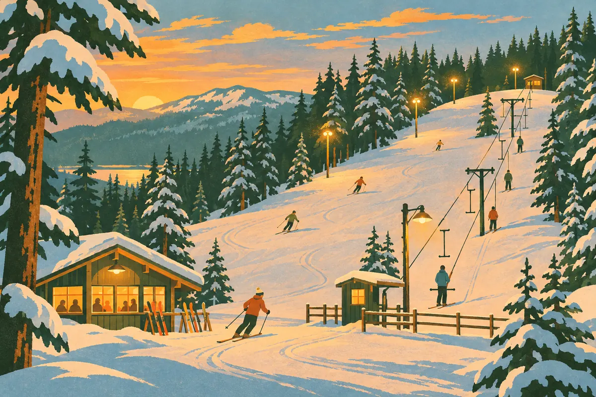
McCall's small T-bar ski hill pairs short laps with night skiing and a community tradition dating to 1937. Confirm operations before planning a session.
Plan your visit →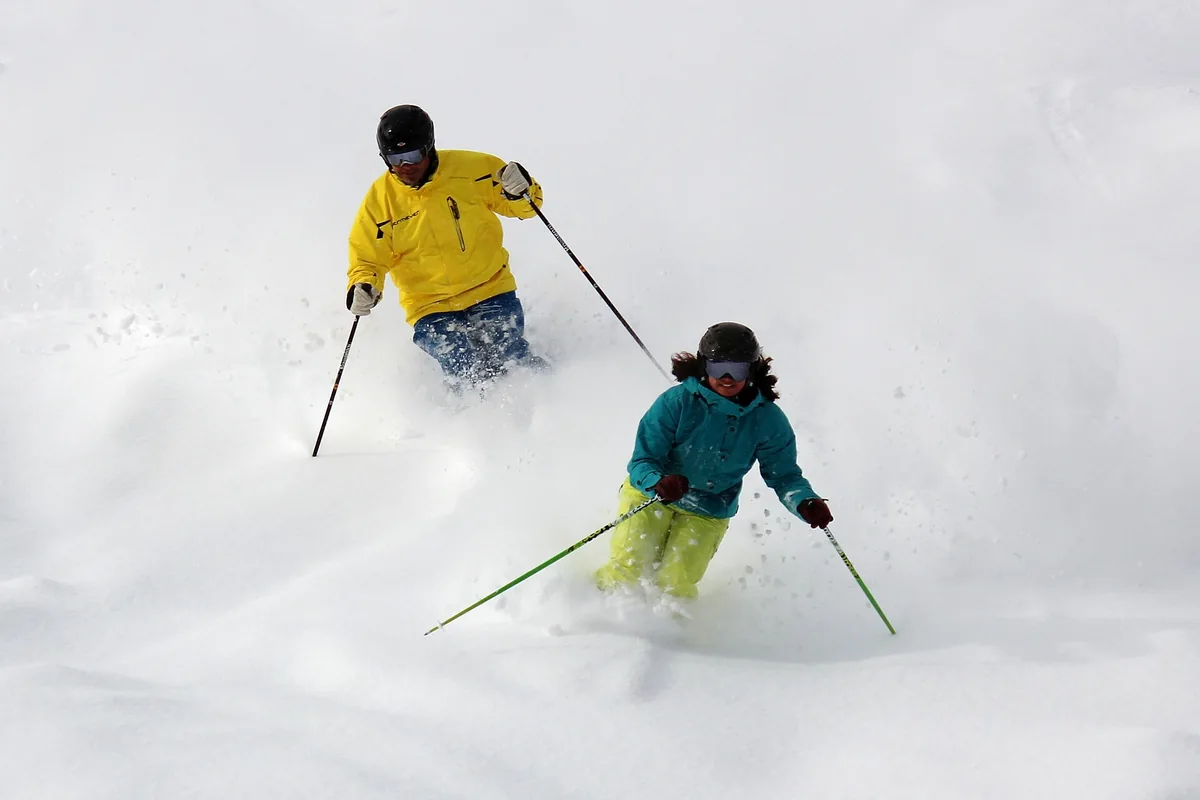
A practical guide to the Idaho–Montana border ski area, with official mountain statistics and a plan for beginners, mixed groups and powder days.
Plan your visit →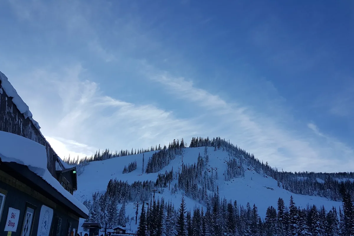
A border-straddling mountain at Lost Trail Pass with double chairs, rope tows and a Thursday–Sunday operating pattern. Plan the pass approach and the exact ski date first.
Plan your visit →
A compact ski area in the mountains south of Kimberly, with skiing, snowboarding, lessons, and tubing. Here is how to plan around its terrain and changing winter operations.
Plan your visit →
A southeast Idaho mountain near Inkom with a substantial vertical drop, beginner facilities and access from Pocatello.
Plan your visit →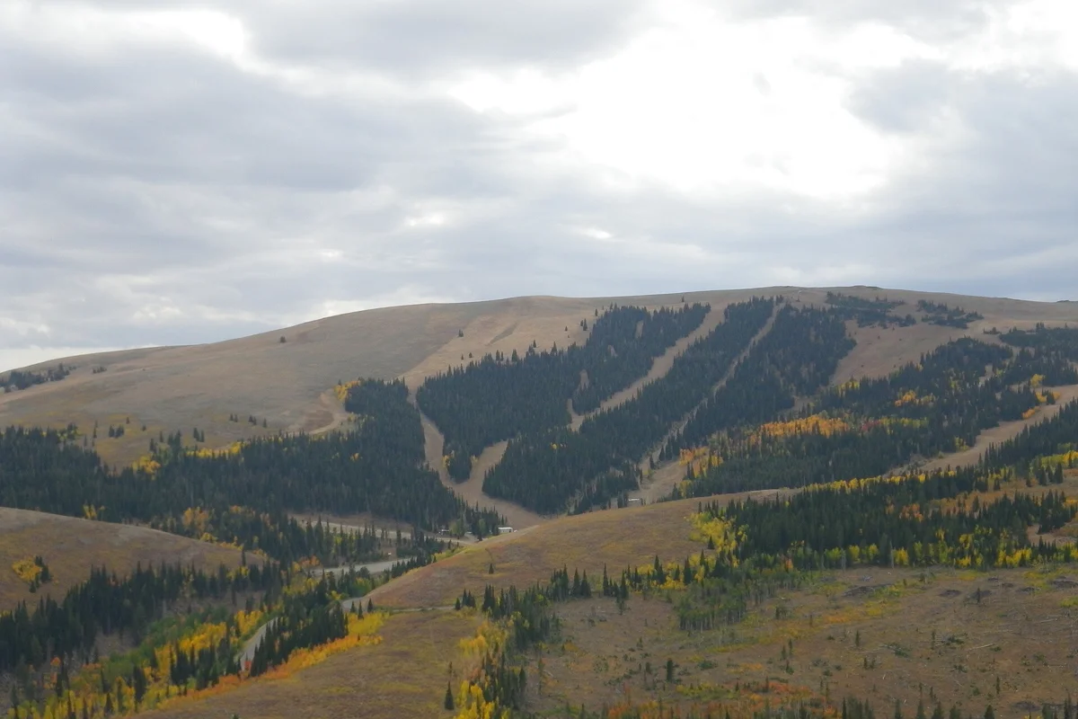
A practical guide to Pomerelle in the Albion Mountains, covering the learning area, chairlifts, night sessions, and a winter-ready arrival plan.
Plan your visit →
Rotarun is a small nonprofit ski hill west of Hailey, built around youth access and community skiing. Plan a public session rather than a resort-style vacation.
Plan your visit →
A large Panhandle ski mountain with bowls, groomers and a slopeside village above Sandpoint. Plan around terrain, weather and the choice between town and mountain lodging.
Plan your visit →
Ski above Kellogg after a gondola ride from town. The key planning questions are mountain access, lesson timing and whether your lodging includes the waterpark.
Plan your visit →
A city-owned ski and tubing hill near Grangeville, best planned around its limited operating calendar and current snow conditions.
Plan your visit →
A smaller ski-area base near Fairfield with lift-served terrain and a separate guided cat-skiing operation. The operating calendar is the first thing to check.
Plan your visit →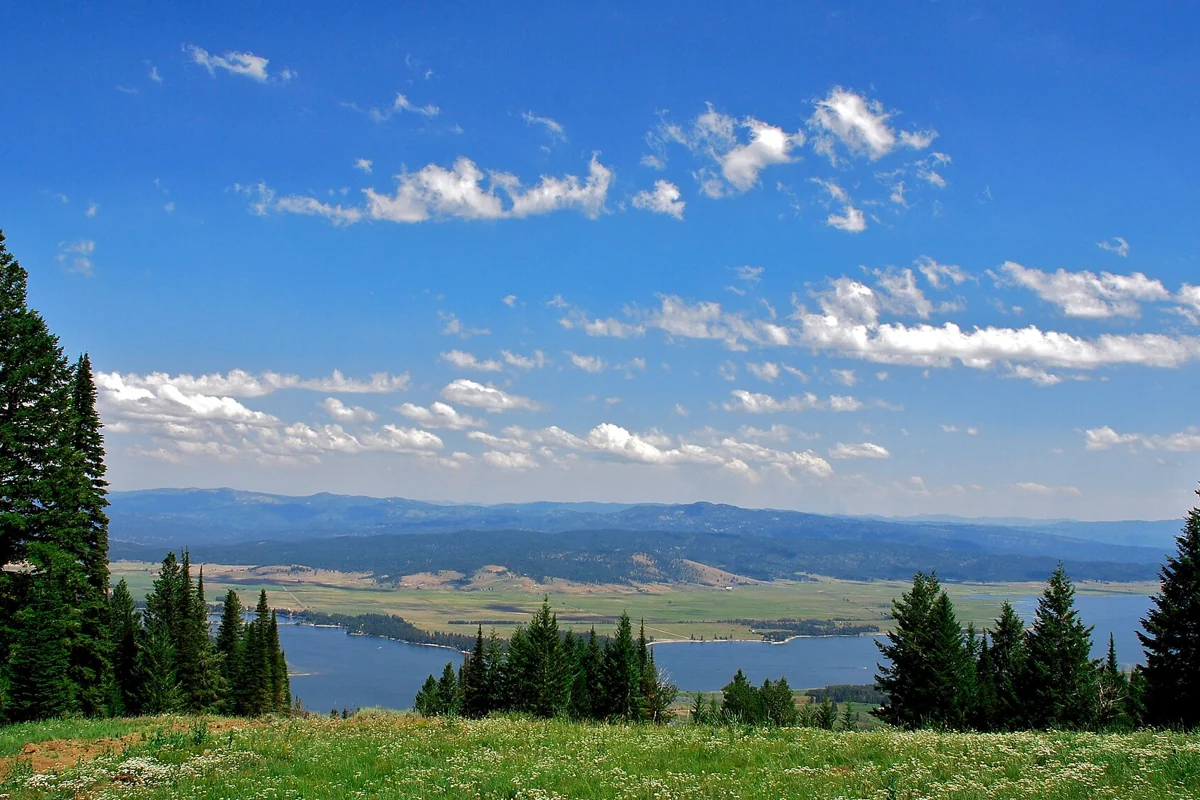
A practical winter guide to Tamarack’s mountain, village and Lake Cascade setting, using the resort’s current published terrain statistics.
Plan your visit →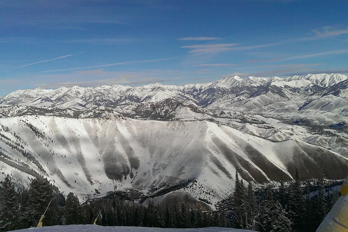
Understand the two mountains before booking: sustained descents on Baldy, beginner progression on Dollar, and a choice of Wood River Valley bases.
Plan your visit →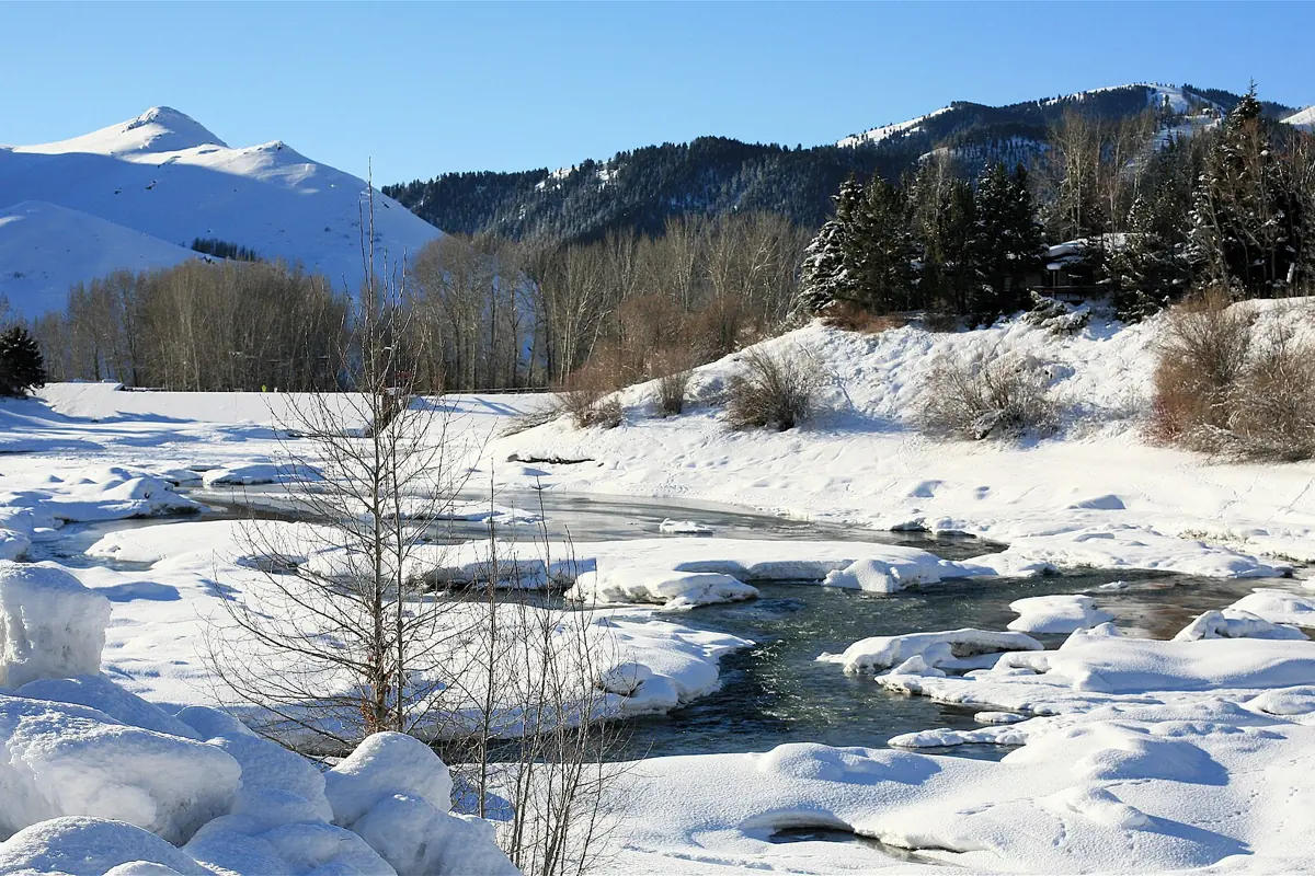
A monthly climate table from NOAA’s Ketchum Ranger Station, with practical guidance for skiing, hiking and shoulder-season travel.
Plan your visit →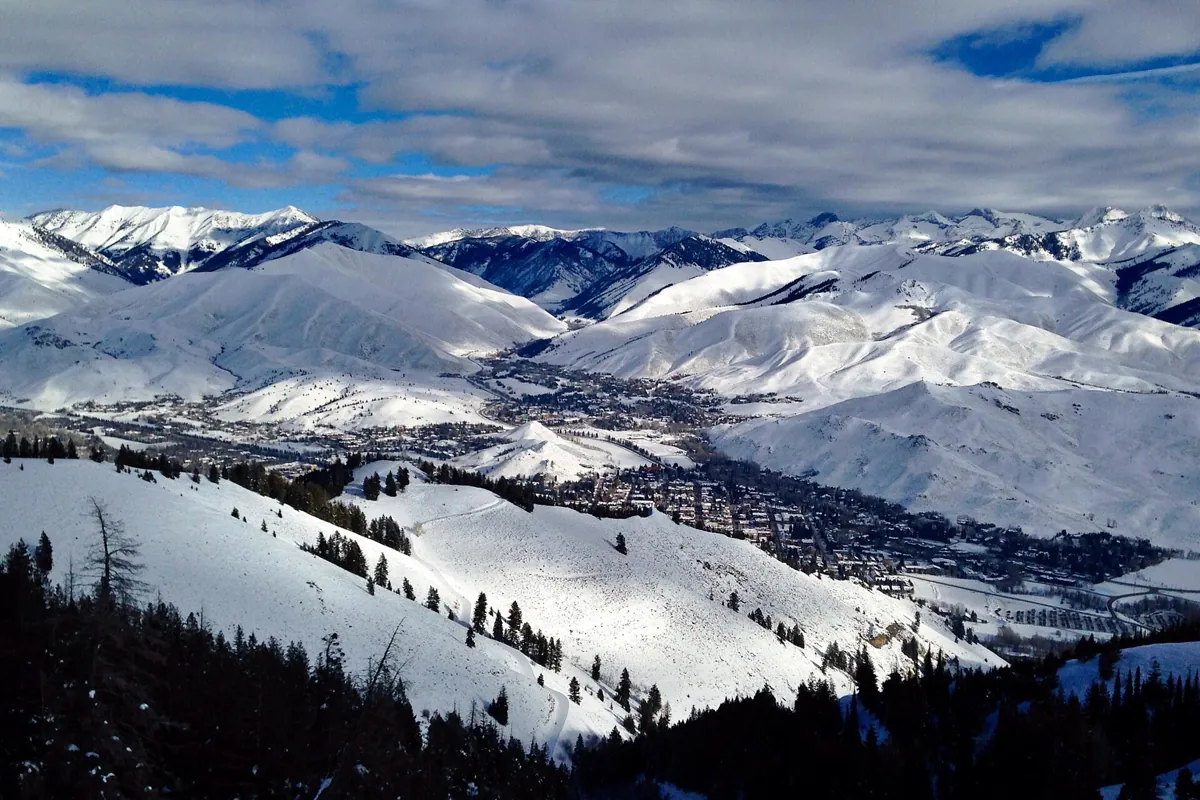
Use Sun Valley and neighboring Ketchum as a base for skiing, trail days and Wood River Valley culture. Choose your season first, then pick the right neighborhood.
Plan your visit →