The Frank Church Wilderness is a vast central Idaho backcountry area best approached with a specific route, access point, and exit plan. Officially the Frank Church–River of No Return Wilderness, it protects rugged mountains and deep river canyons rather than a developed sightseeing loop. A first visit might mean a guided river trip, a carefully researched backpacking route, or a short out-and-back from a reachable trailhead.
The Forest Service describes approximately 2.4 million acres spanning multiple national forests. That scale explains why “directions to the wilderness” is not enough. Use the Idaho parks and public lands guide to compare destinations, then identify which side of this wilderness actually fits your trip.
Understand the landscape before picking an entrance
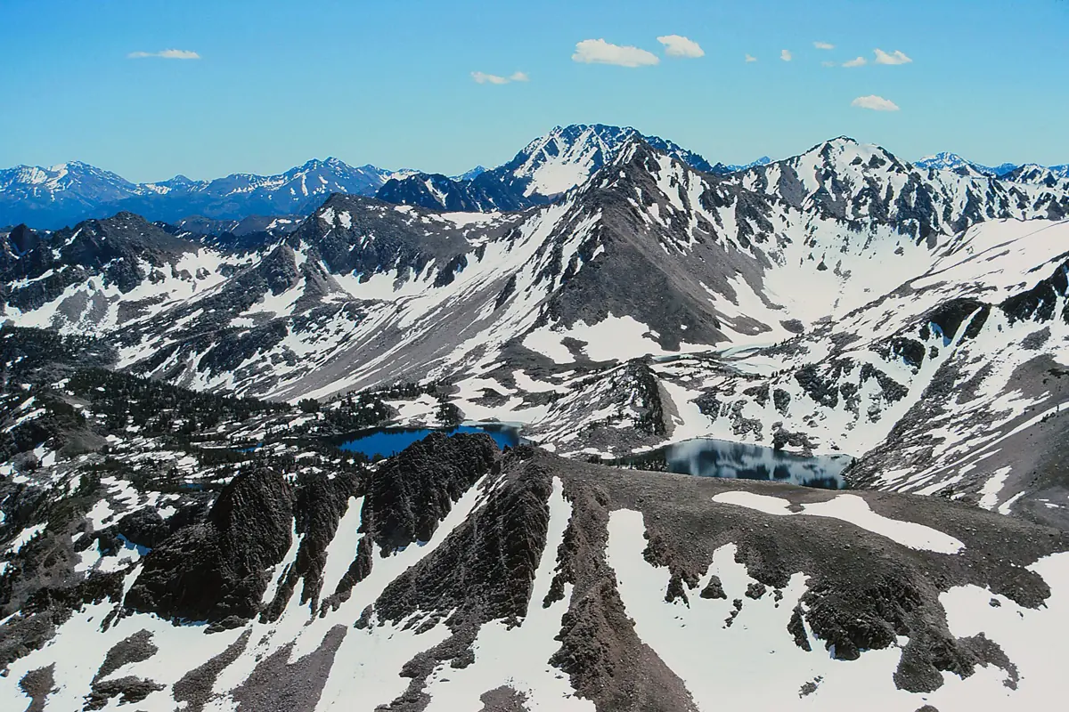
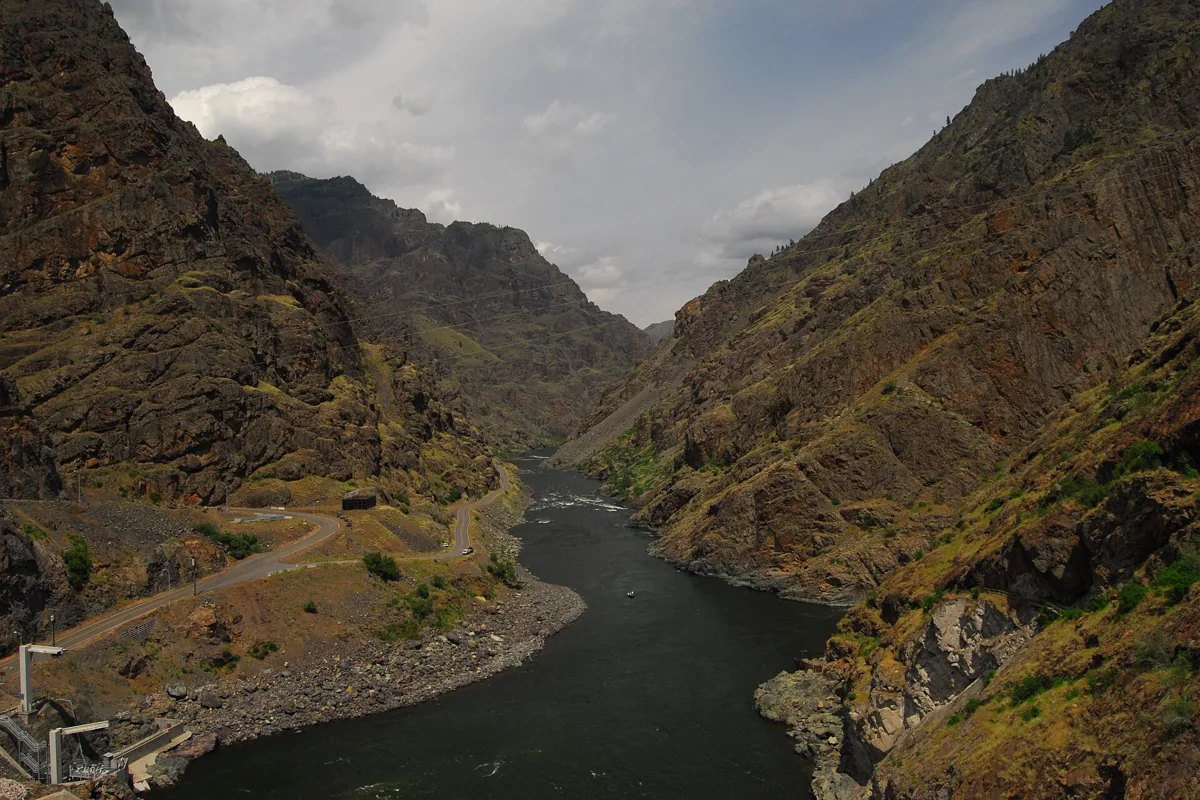
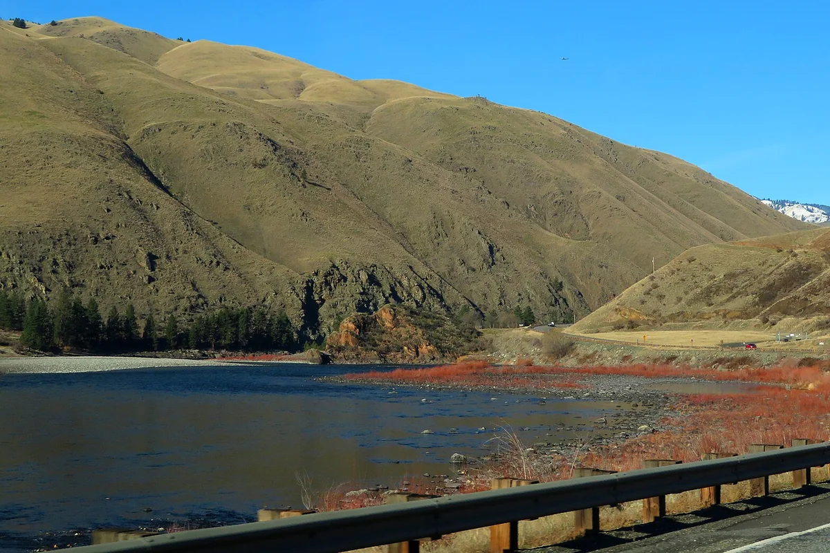
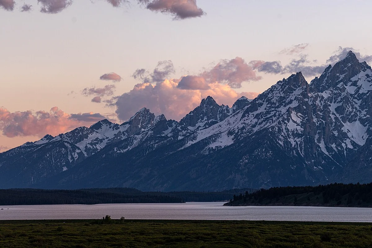
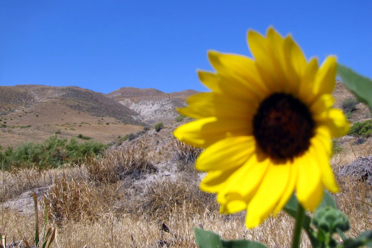
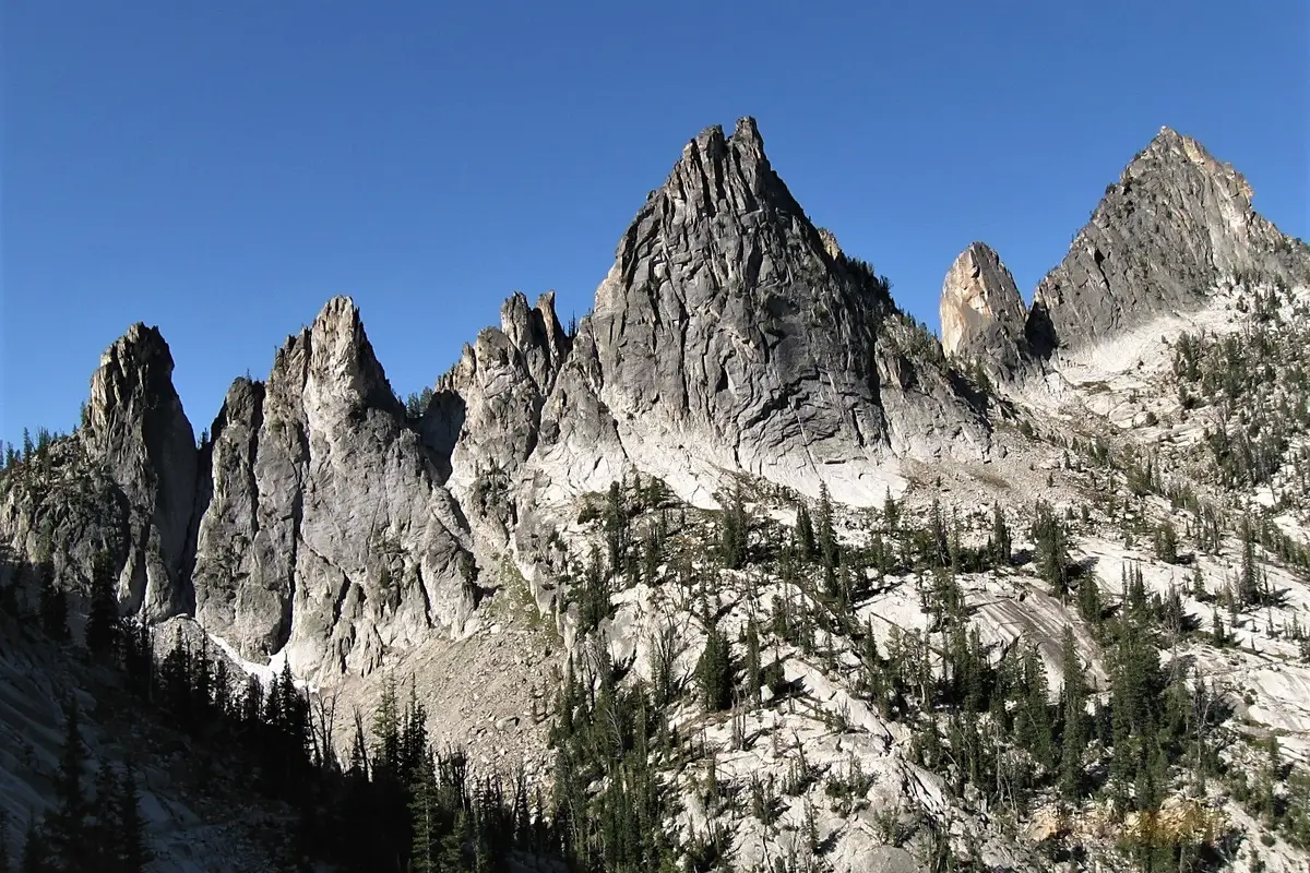
The Salmon River Mountains dominate much of the area south of the Main Salmon and west of the Middle Fork. The Bighorn Crags lie east of the Middle Fork, while the Clearwater Mountains extend north of the Main Salmon. A photograph of alpine granite and a photograph of a dry river canyon can both represent this wilderness accurately, but they imply very different walking conditions.
The map pin on this page is a general geographic reference for the wilderness, not a visitor center or drivable destination. Do not navigate to it. An actual itinerary needs a named trailhead, launch site, or authorized landing location and an up-to-date approach-road assessment.
Which gateway should you use?
The Forest Service identifies access from areas near Grangeville, McCall, Salmon, and Challis. Select the gateway that serves your route, not whichever town looks closest to the center of the wilderness on a map. Mountain roads, river crossings, and the absence of through-roads can make a nearby-looking destination a long way around.
Salmon is a useful starting point for researching eastern approaches and contacting the Salmon-Challis National Forest. McCall provides a western gateway context, while Grangeville is relevant to northern approaches. A town guide is not a substitute for trailhead directions: confirm the final road segment with the responsible ranger district.
Before committing to lodging or a shuttle, ask about road damage, seasonal access, trail maintenance, burned areas, and closures. A road being shown on a navigation app does not establish that your vehicle can travel it or that the final trail is usable.
Hiking and backpacking: choose a route you can reverse
For a first walking trip, favor a route with a clear starting point and manageable retreat over an ambitious traverse. An out-and-back lets you turn around for fallen trees, high water, fatigue, or unexpected snow without having to reach a distant shuttle. Do not assume every mapped trail receives regular maintenance.
Build daily mileage around terrain and conditions rather than around fitness alone. A steep descent into a canyon still has to be climbed on the return. Stream crossings, route-finding, and detours around obstacles can consume time without adding much mapped distance. Carry a paper map and independent navigation backup, and leave your route and overdue plan with someone at home.
The Bighorn Crags are one mountain area to investigate through the Forest Service, but an appealing lake photograph does not tell you whether its access road or trail is currently open. If you want to compare other Idaho mountain outings before choosing, see Sawtooth National Recreation Area. It is a different destination, not an alternative entrance into the Frank Church.
River trips require their own planning process
The Main Salmon and Middle Fork of the Salmon are major river routes associated with the wilderness. Boating on those rivers requires a permit year-round, according to the Salmon-Challis National Forest. The permit and launch-allocation process is separate from ordinary hiking logistics, and popular launch dates require advance planning.
Use the Forest Service permit information to reach current river-specific requirements. Do not transfer a rule from one river segment to another or assume that joining a group solves every equipment, waste, or camping requirement. For an introduction to the wider river system, read our Salmon River guide.
A licensed, authorized outfitter can be a practical choice for travelers without whitewater experience or the equipment to organize an independent expedition. Confirm what a trip includes, how you reach the launch, how you return from the takeout, and what happens if river or access conditions change.
For another large river-canyon landscape, compare Hells Canyon. It has separate access points and management; a Frank Church itinerary does not automatically include it.
Safety, restrictions, and cultural respect
Check the current wilderness orders, fire restrictions, and river regulations immediately before departure. Review both Salmon-Challis alerts and the alerts for the forest managing your chosen approach. The Payette has additional camping and grazing restrictions around specified high-elevation lakes, so a general wilderness-wide rule may not be the only rule at your destination. Do not rely on a general guide for a group's legal size, a particular camp's availability, or permission to build a fire. These questions can depend on the exact corridor and current order.
Carry a reliable way to treat water, a first-aid kit, weather protection, and enough supplies for a delay. A satellite communication device can improve an emergency plan, but it does not guarantee rapid rescue. Decide before departure what injury, water level, weather change, or navigation problem will trigger retreat.
This is also a cultural landscape. The Forest Service documents the Tuku-Deka people's long connection to the Middle Fork corridor and their forced removal during the nineteenth century. Leave artifacts and archaeological features untouched, avoid camping on cultural sites, and follow designated-camp instructions where they apply. A successful trip leaves both the route and its history intact.
Questions before you go
Is there one entrance to the Frank Church Wilderness?
No. Choose a named trailhead or river access point first. The wilderness can be approached from several gateway areas, and roads do not run through its interior.
Do river trips need permits?
Boating on the Middle Fork and Main Salmon requires permits year-round. Check current Forest Service information for the exact river section and launch process.
Sources & planning resources
- Forest Service: Wilderness overview, geography and history
- Forest Service: Access and general visitor information
- Forest Service: River permits
- Forest Service: Wilderness order; check current restrictions
- Wikipedia: Verified general wilderness coordinates, not an access point
- Forest Service: Current Salmon-Challis alerts
- Forest Service: Specific lake camping and grazing restrictions