Closure notice (Nov 2026): Upper and Lower Mesa Falls are closed for construction: road, trail paving and boardwalk work. The Forest Service says not to enter closed zones. Visit Idaho lists a planned road reopening in May 2027. Check the Forest Service closure notice before you go.
Mesa Falls is a pair of waterfalls on the Henrys Fork of the Snake River in eastern Idaho. Start at Upper Mesa Falls for the visitor-center area and boardwalk views, then see Lower Mesa Falls from its separate roadside observation site. You can enjoy the main viewpoints without committing to a long backcountry hike, but snow and seasonal road access make advance planning important.
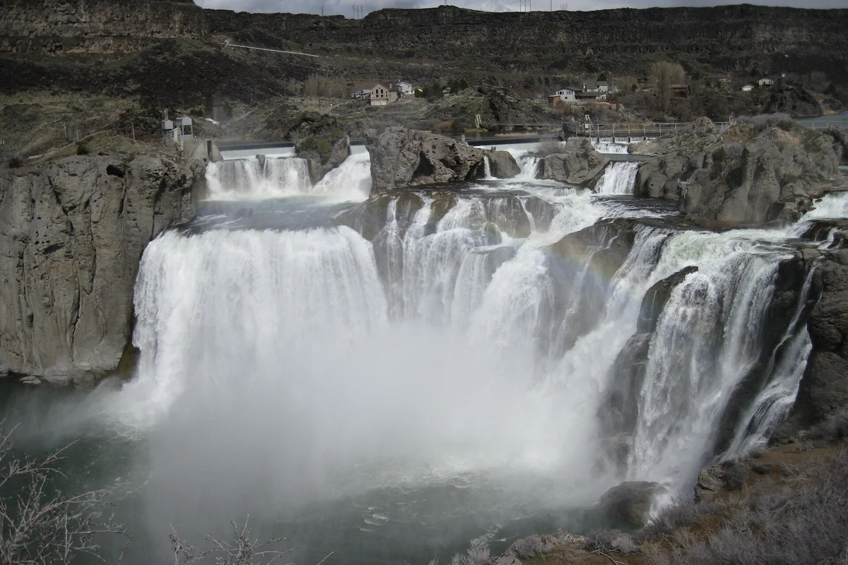
The falls belong on an Ashton and Island Park itinerary rather than a quick detour from southern Idaho. Use our Idaho things-to-do guide to build the larger trip, or compare this forested river canyon with Shoshone Falls before deciding which part of the state to explore.
Upper Mesa Falls or Lower Mesa Falls?
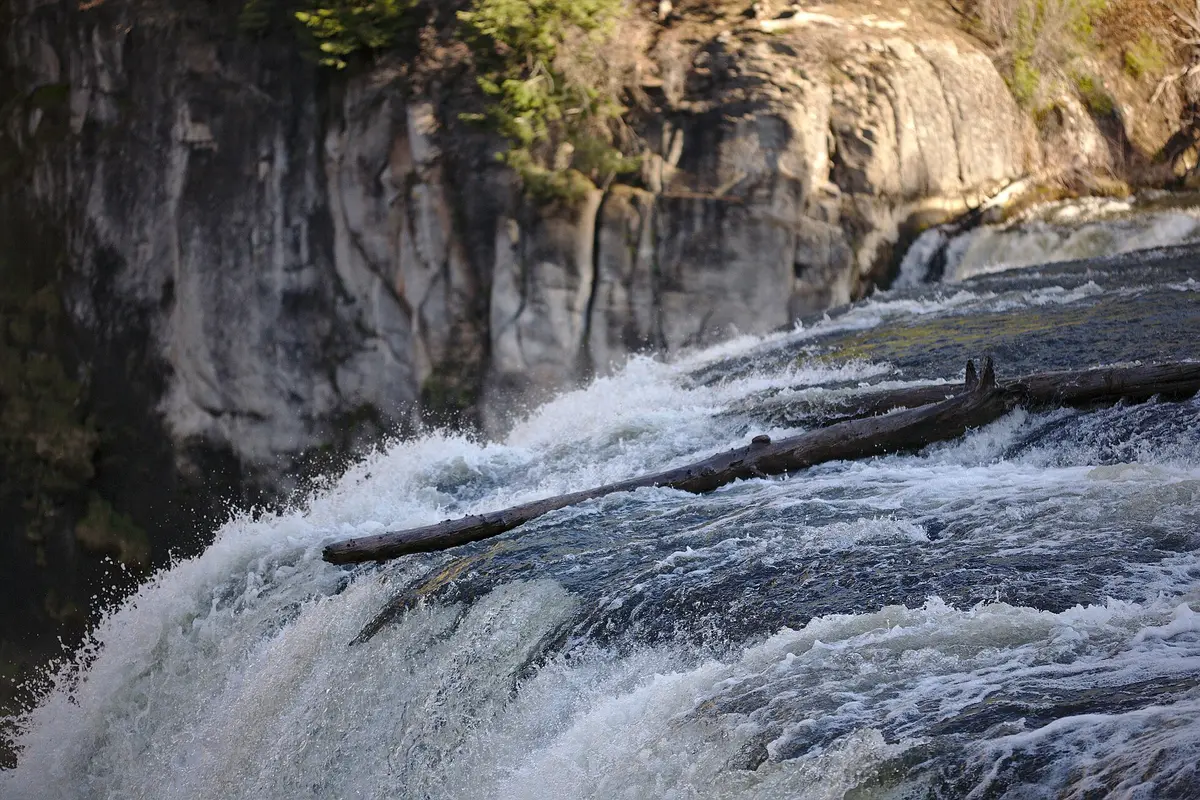
They are different stops, not two names for the same waterfall. Upper Mesa Falls drops about 114 feet, with viewing infrastructure near the brink and the historic Big Falls Inn. Lower Mesa Falls drops about 65 feet and is viewed from farther away across the canyon. Visiting both gives you a better understanding of the river than stopping at only one.
- Choose Upper first for the main visitor facilities, interpretive signs and the closest developed views of falling water.
- Add Lower for the wider canyon perspective and a short paved approach from its observation-site parking area.
- Add a forest walk only after checking which trail you intend to follow and how you will return.
The map location on this page marks Upper Mesa Falls. Do not use it as a substitute for directions to the Lower Falls parking area; set the appropriate observation site as a separate destination.
What is the Upper Falls walk like?
The Forest Service describes an accessible trail and boardwalk from the visitor center to views of Mesa Falls. That makes this a useful option for travelers who want a substantial waterfall experience without choosing a strenuous summit trail. Accessible infrastructure does not mean every spur, viewing angle or winter surface will suit every visitor, so ask the ranger district about current conditions and the best route for your needs.
Keep children close around the railings and use the developed walkways. Mist can wet viewing surfaces; shoes with traction are a more practical choice than smooth sandals. A close view of the river's lip is a reason to respect the barriers, not look for a scramble below them. Take photographs from established viewing areas and leave enough space for other visitors to pass.
Big Falls Inn and the nature trail
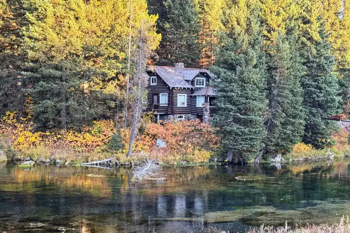
The visitor center occupies Big Falls Inn, built around 1915. Over time the building served as a hotel, cafe, dance hall and stop for travelers. Its natural- and cultural-history exhibits add context to the scenery, particularly if your group includes someone more interested in history than hiking.
Indoor access is seasonal. At this page's November 2026 review, the Forest Service listed the visitor center as closed for the remainder of the season. Check the official visitor-center page for the next opening information, current fees and contact details rather than assuming the building opens whenever the road is reachable.
The Forest Service also describes a nature trail of about one mile through the forest ending at an overlook of Lower Mesa Falls. That is an optional walk, not the same approach as the separate roadside Lower Falls observation site. Confirm the trail's signed distance and whether your planned distance includes the return; the attraction's short boardwalk and the longer forest outing should not be treated as interchangeable.
Getting there and choosing a season
Both falls are reached from the Mesa Falls Scenic Byway, Idaho Highway 47, in the Caribou-Targhee National Forest. Ashton is a practical approach town from the south, while Island Park works as a base farther north. Check the byway and access roads before turning off your main route, especially outside summer.
Summer is the straightforward season for a conventional driving visit, but exact opening dates depend on snow. The Forest Service notes that deep snow can remain around the visitor center into late spring. Winter recreation and summer sightseeing require different plans; a map showing a continuous road is not evidence that you can drive it in every month.
Morning sunlight can produce rainbows in the Upper Falls mist, according to the Forest Service. Treat that as a possibility rather than a scheduled show. Pack a light layer, rain protection for your camera, drinking water and a snack so a change in weather does not end the visit early.
A sensible way to combine the stops
On a first visit, prioritize Upper Falls, then decide whether to add the nature trail before moving your vehicle to the Lower Falls observation site. This keeps the two walking options clear and prevents an accidental longer outing. If members of your group have different mobility or energy levels, the main viewpoints can be the shared activity while a longer walk remains optional.
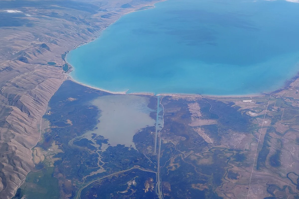
For another day in the area, consider Harriman State Park or use our Yellowstone from Idaho guide to work out the next leg. Travelers comparing water scenery statewide can also look at Bear Lake. Avoid stacking these into one rushed sightseeing checklist: park entry, road conditions and time spent outside the car deserve their own space in the plan.
Questions before you go
Do you need a long hike to see Mesa Falls?
No. Upper Falls has developed trail and boardwalk access, and Lower Falls has a separate observation site reached by a short paved path. The forest nature trail is optional.
Is Mesa Falls open in winter?
Do not assume summer driving access or visitor-center services continue through winter. Check Forest Service conditions and road access before traveling.