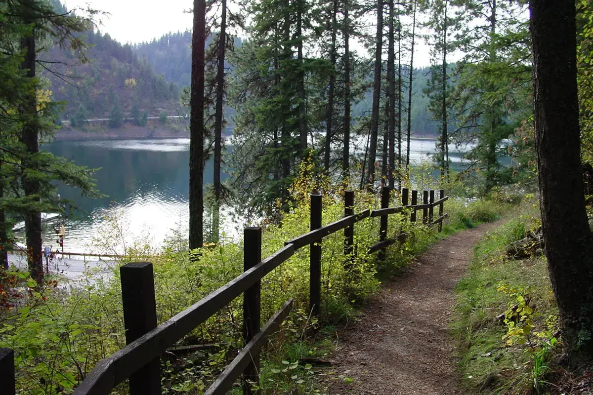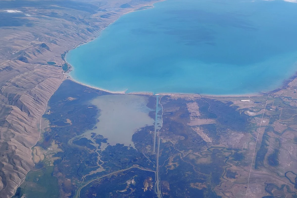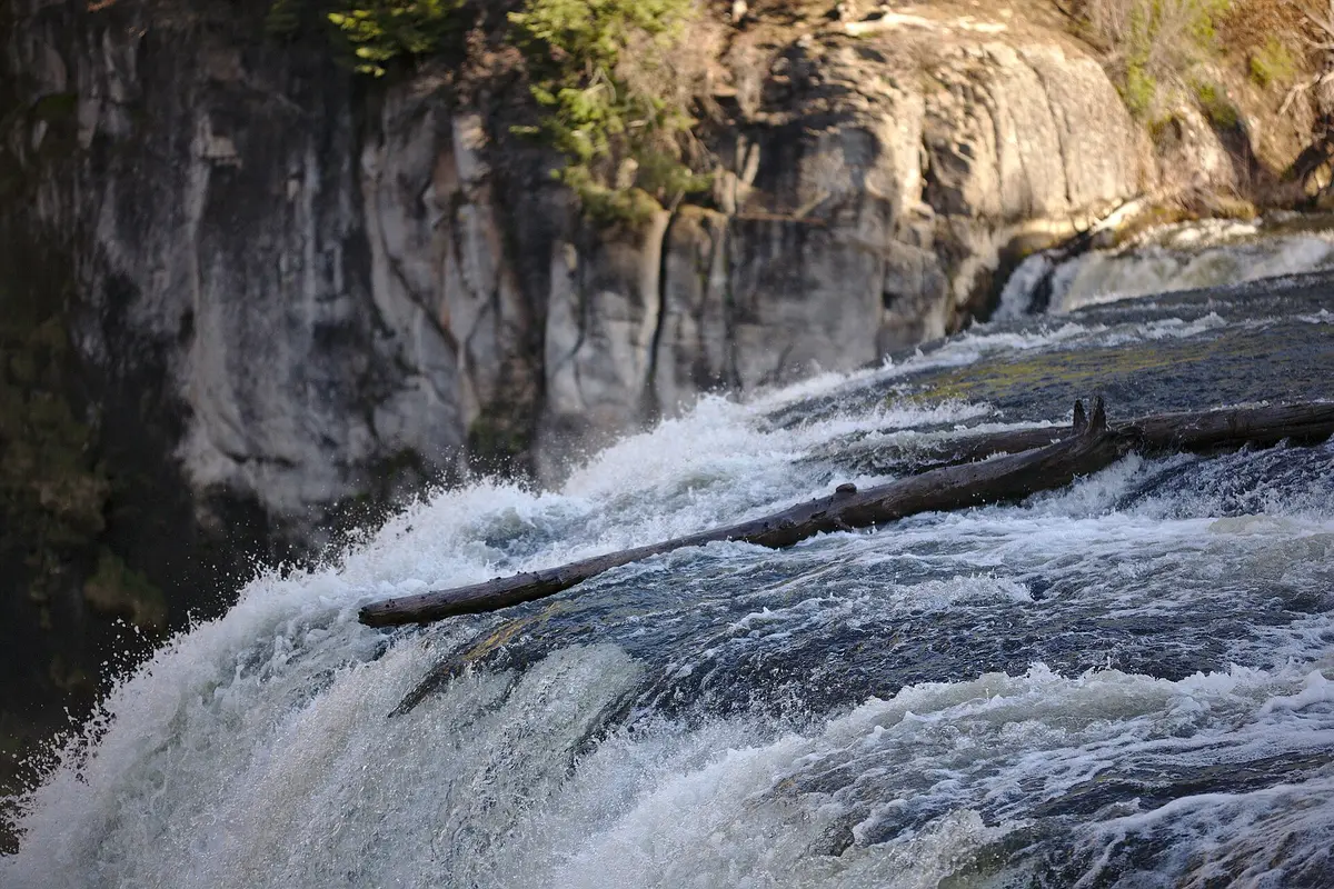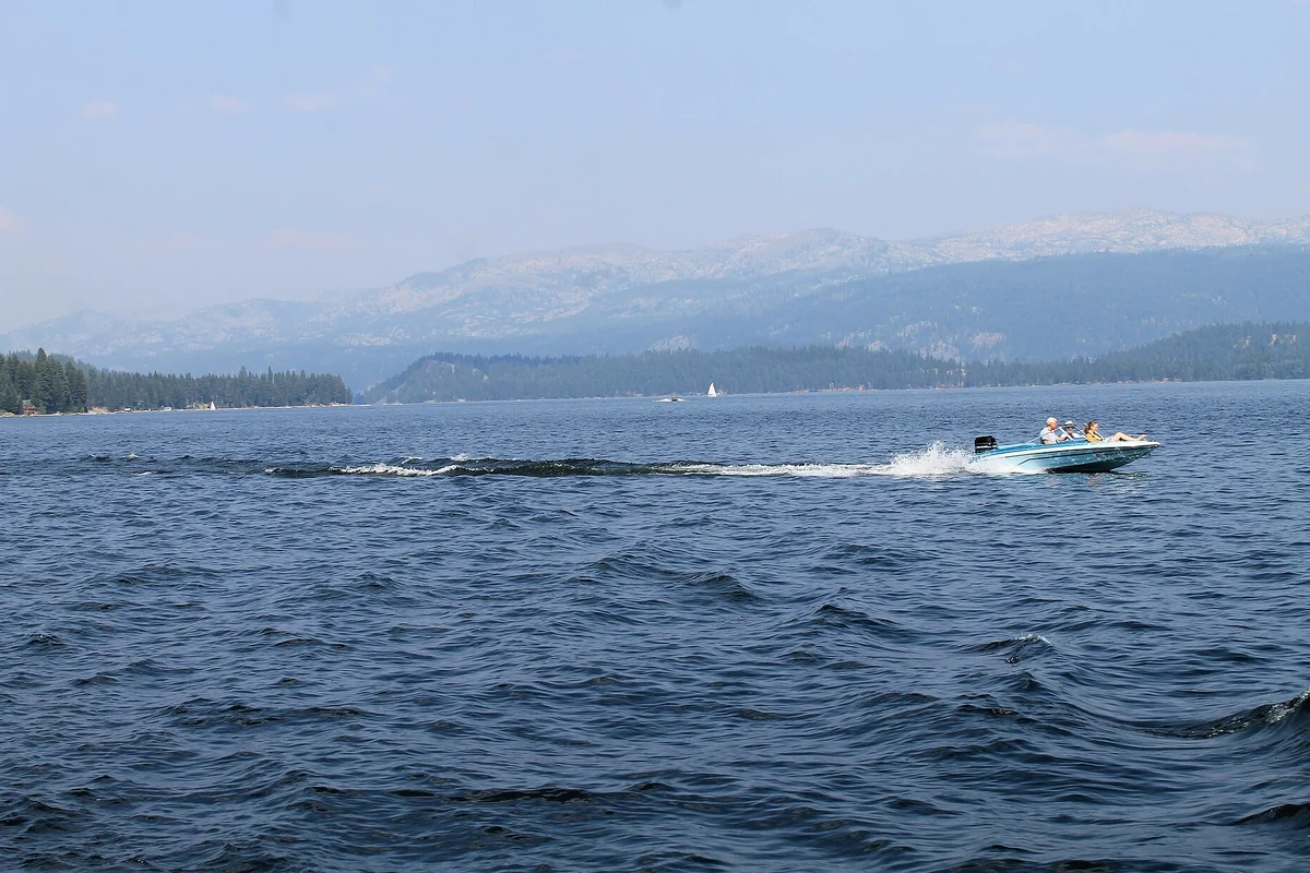
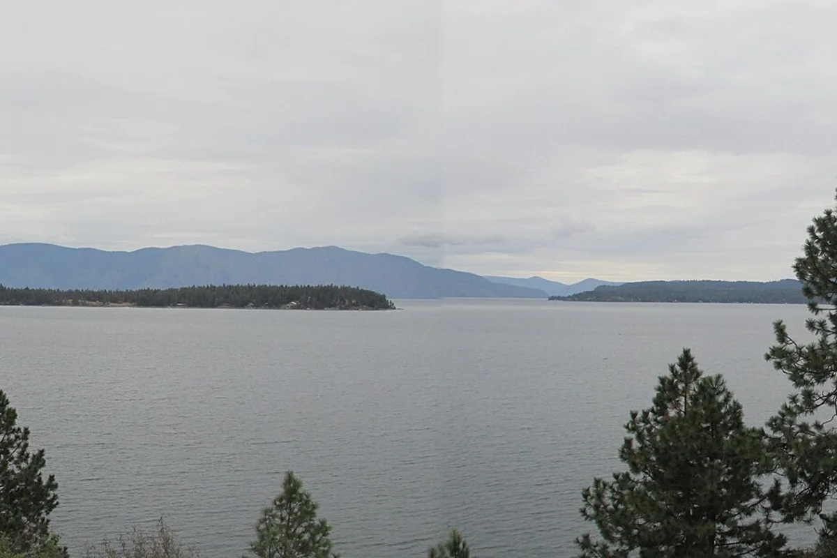
Lake Pend Oreille is Idaho’s largest lake, with public beaches, boating access and forest recreation spread around a mountain-framed shoreline. Sandpoint is a practical choice for a town-and-beach trip, Sam Owen suits an east-shore camping plan, and Farragut State Park anchors the southern end. Pick one area for the day rather than trying to sample the entire lake.
The Forest Service describes a lake covering 148 square miles, fed by the Clark Fork and Pack rivers and draining into the Pend Oreille River. That scale matters for planning: two places with “Lake Pend Oreille” in their descriptions may be on very different parts of the water.
Which part of Lake Pend Oreille should you visit?
| Area | Good fit | Planning priority |
|---|---|---|
| Sandpoint | A public beach with town services | Use City Beach’s official parking and facility information |
| Hope Peninsula | Forest camping and a sandy beach at Sam Owen | Check campground reservations and seasonal operations |
| Southern end | Farragut trails, camping and park recreation | Choose the right park entrance and activity area |
For a wider comparison of lake destinations, start with our Idaho things-to-do guide. Nearby Lake Coeur d’Alene has its own shore towns and access pattern; it is not another name for this lake.
Sandpoint City Beach for a straightforward lake day
Sandpoint’s city government identifies City Beach as a 22-acre park at 102 Bridge Street. Its listed facilities include a swim area, playground, picnic tables, restrooms, courts and a seasonal boat launch. Those amenities make it a sensible starting point when your group wants more than one activity without moving the car repeatedly.
Build the day around the public park, then use Sandpoint for meals and lodging. A beach stop and a downtown break fit together more naturally here than on remote forest shoreline. Special events and seasonal changes can affect the experience, so read the city’s notices instead of assuming every listed amenity operates every day.
Traveling with a dog needs separate planning. The city publishes specific seasonal restrictions for City Beach pathways; do not extend the rules from another waterfront park to this one. Check the current City Beach page before setting out, including any restrictions that apply away from the paths.
Sam Owen and the Hope Peninsula
The Forest Service’s Sam Owen Campground occupies a peninsula on the lake’s east side. Its official description lists a sandy beach, boat ramp and dock, picnic facilities and a short interpretive trail. This is a different style of stay from using a downtown hotel: make the campground itself part of the trip rather than just somewhere to sleep.
Reserve through the official link and read the individual campsite information. The Forest Service says the campsites do not have electric hookups. Check the current operating season, water availability and reservation conditions rather than assuming that a recreation area’s name guarantees full service year-round.
Wildlife viewing is another reason to slow down here. The campground shares its peninsula with the Sam Owen Game Preserve. Observe animals without feeding or approaching them, keep food secured, and use binoculars instead of trying to shorten the distance for a phone photograph.
Farragut for forest trails and lake access
At the southern tip, Farragut State Park combines lake recreation with a large trail network, camping and World War II naval history. It is a useful choice when one person wants to walk, another wants time by the water and the group does not need to stay in a town center.
Choose a public access point from the park map. A campground booking does not tell you everything about reaching a launch or swimming area, and the most convenient area for one activity may not be the best for another. Separate those decisions while planning rather than sorting them out after unloading.
Boating and paddling: plan the return first
A lake this large deserves a weather-aware plan. Wind and boat traffic can make an exposed crossing very different from a sheltered launch. Wear a life jacket, choose an outing within your ability, and agree on a turnaround based on conditions rather than how far you hoped to travel.
Before towing a boat, check Idaho’s current boater education, registration and invasive-species requirements through the state’s official recreation agency. If you plan to fish, use Idaho Fish and Game for current licenses, species rules and limits. This guide does not substitute a general lake description for those requirements.
What to check before leaving
- Confirm the exact public beach, campground or launch you intend to use.
- Read the managing agency’s current alerts, seasonal facility information and fees.
- Check the forecast for wind as well as air temperature.
- Pack drinking water, sun protection and warmer layers for time near the water.
- Keep shoreline roads and private property separate from designated public access.
For a longer Idaho lake itinerary, compare Payette Lake and Bear Lake. They are additional destinations, not short side trips to squeeze into a Lake Pend Oreille beach day.
Questions before you go
Where is a public beach on Lake Pend Oreille?
Sandpoint City Beach is a city-managed park with a designated swim area. Sam Owen Campground on the east side also has a sandy beach; check current access and seasonal operations.
Is Lake Pend Oreille the same as Lake Coeur d’Alene?
No. They are separate North Idaho lakes with different towns and public access areas.