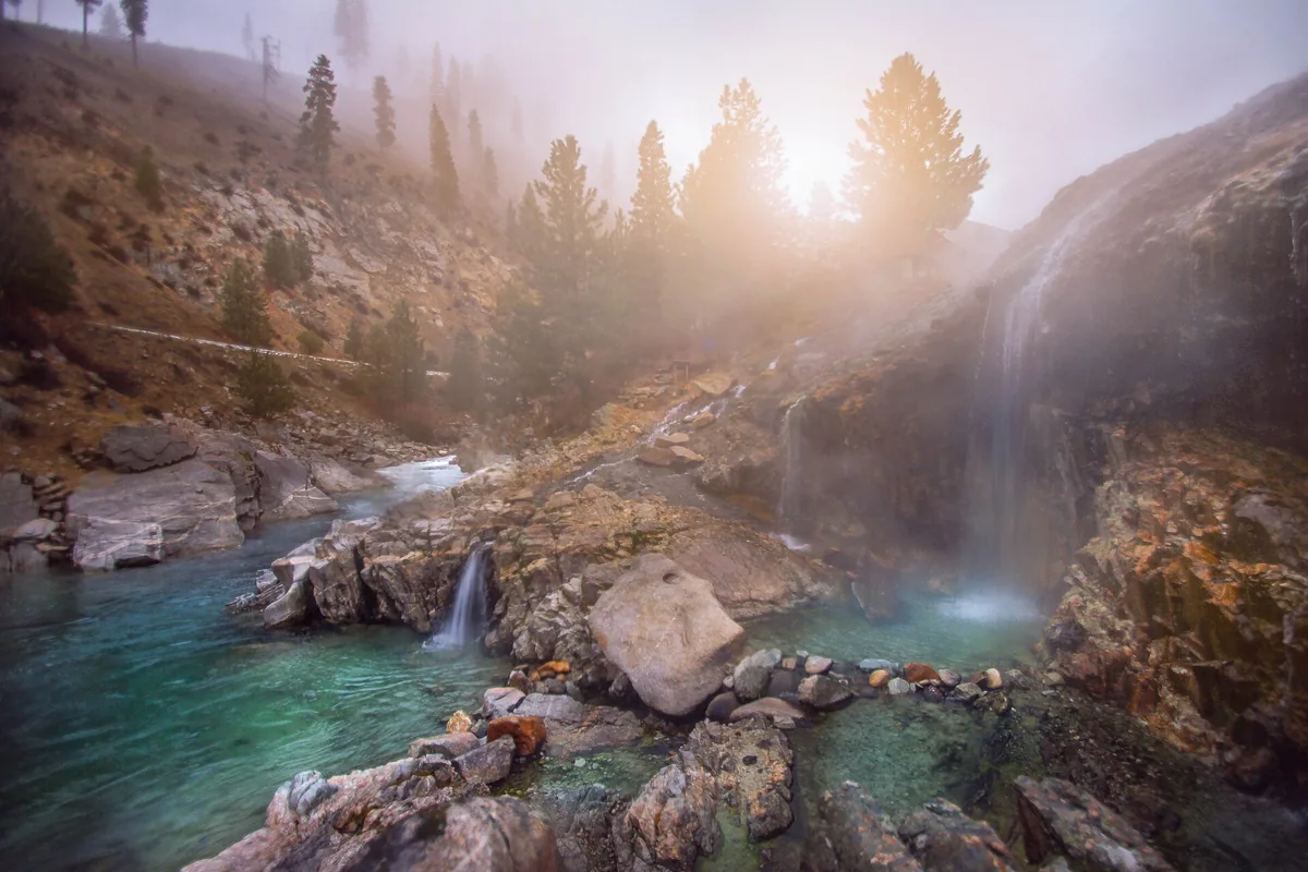
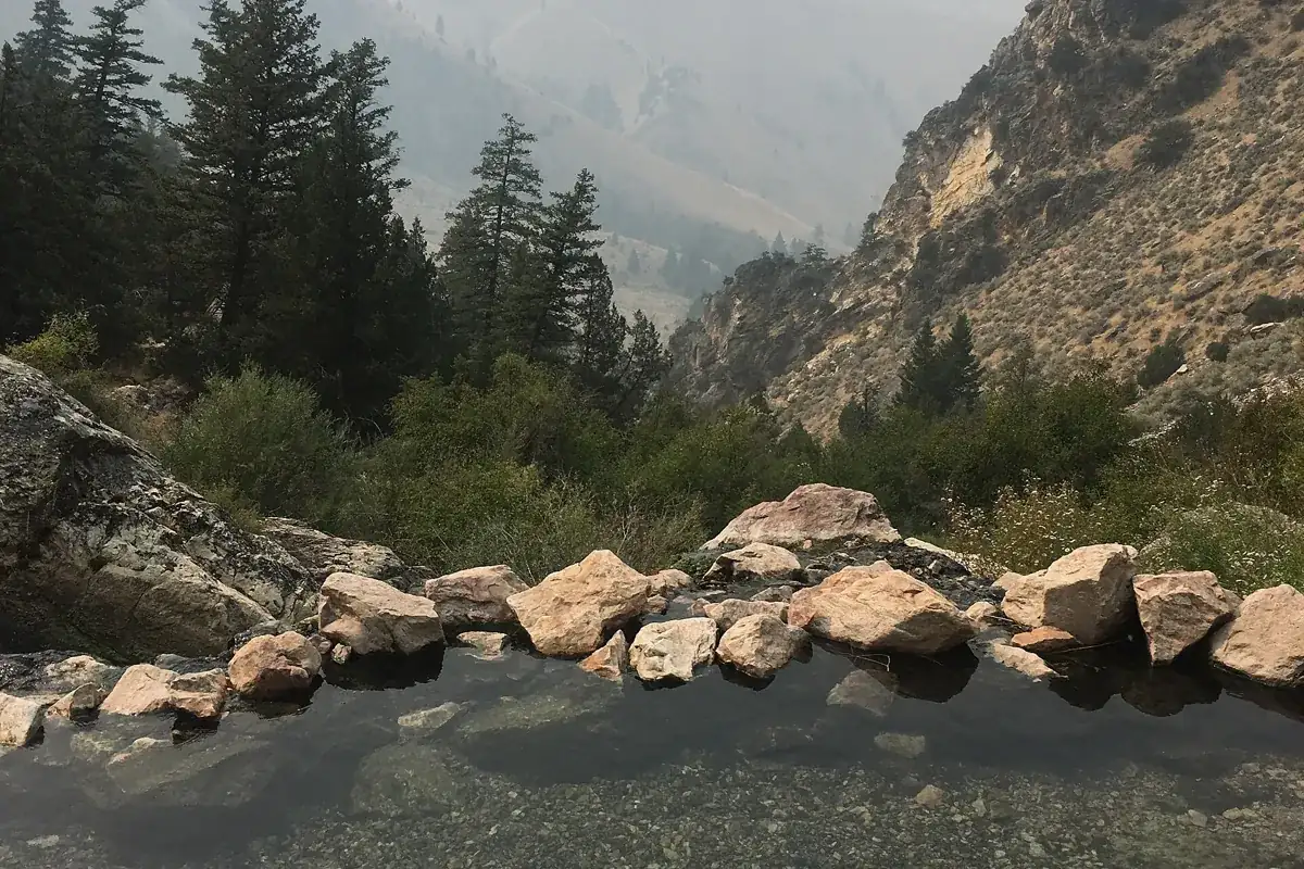
An Idaho hot springs map is most useful when it separates public-land springs from privately operated pools and shows the actual road approach, not just a dot. Start with the statewide hot springs atlas, then use this regional guide to choose a realistic base, check land access, and avoid driving to a geothermal feature that is not a public soaking site.
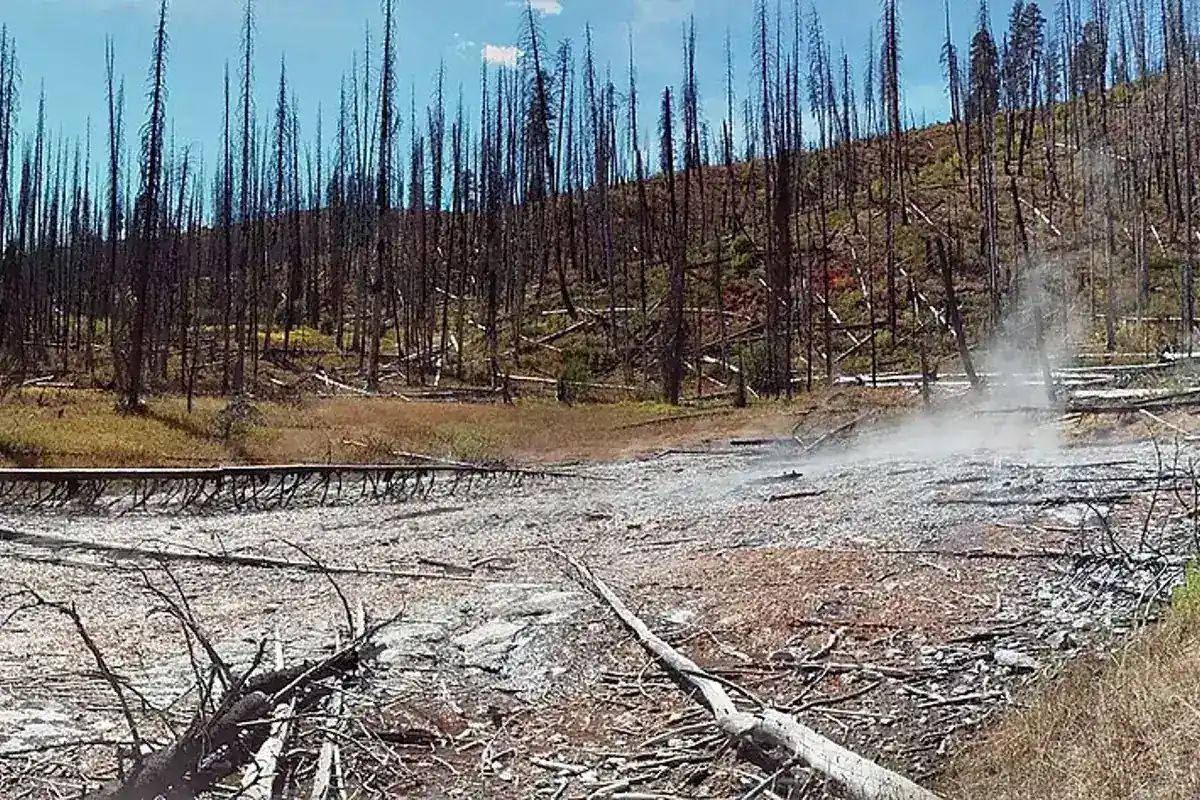
Weir Creek closure warning: Visit North Central Idaho currently says the Weir Creek area is closed until further notice. Do not plan it as an open soaking stop. Confirm current restrictions with the Nez Perce-Clearwater National Forests before considering travel there.
How to use an Idaho hot springs map
Choose your overnight town before choosing a spring. Idaho's mountain highways follow river valleys, so two map pins that look close can require a substantial drive between watersheds. A route through Boise, Cascade, and McCall works differently from one through Stanley, Challis, and Salmon. Save a driving route as well as the destination pin, and review the last road segment rather than trusting a navigation app's fastest option.
Treat every listing as a starting point for research. A public-land location can be subject to a temporary closure, and a commercial property can require a reservation even when a general travel map calls it open. The Idaho Department of Environmental Quality's geothermal map describes wells and springs by water temperature; it is a scientific inventory, not an invitation to enter property or water. A geothermal well is not a recreation destination.
For a printable or offline planning kit, save the relevant land manager's map, the current closure order map if one applies, the operator's directions for a developed pool, and your return route. Download them before leaving reliable service. Keep a paper backup and note a turnaround point if the road becomes snowy, damaged, or more demanding than your vehicle can handle.
Hot springs near Boise, Nampa, and Mountain Home
For a southwest Idaho trip, use hot springs near Boise to compare the different travel corridors. Boise and Nampa are useful accommodation bases, but a search for hot springs in Nampa can blur the difference between staying in the Treasure Valley and actually soaking there. Check the listed location and road approach before treating any result as a nearby stop.
The Payette River corridor is one option to investigate from Boise. Kirkham Hot Springs has its own access considerations, and river conditions matter as much as road conditions at a riverside spring. Do not build a packed schedule that depends on every natural pool being available. A walk or a town stop makes a better backup than an improvised river crossing.
For hot springs near Mountain Home, look at the destination's own location rather than using the city as a promise of a short drive. The same rule applies to any search-engine list labeled Boise area. Compare the complete out-and-back journey, daylight, fuel, and whether the last part is paved. Keep the Boise town guide handy for a lower-commitment alternative if mountain travel conditions deteriorate.
Cascade, Warm Lake, and McCall
Hot springs near Cascade, Idaho, belong to a mountain-road trip, not simply an extension of an urban evening. Plan this part of the state around Cascade or McCall and verify each route separately. The Warm Lake area is a useful geographic reference, but searching for Warm Lake hot springs does not identify one managed pool with guaranteed access.
For Vulcan Hot Springs, the Forest Service identifies the Tyndall / Vulcan Trailhead as the access point serving trail #072. Its official listing gives a seasonal operational window subject to snow, and says potable water is unavailable. That is more useful than an old map marker with no maintenance information. Contact the Cascade Ranger District about the specific road and trail before committing.
A search for natural hot springs near McCall may also return developed businesses. Neither style is automatically better: a managed pool can suit a family that needs predictable facilities, while a public-land destination demands more independent planning. Read the operator's booking policy or the land manager's rules, and do not assume a road stays driveable just because another attraction in the same valley is open.
Stanley, Challis, and Salmon
Use this central Idaho corridor as its own itinerary. Goldbug Hot Springs and the Stanley-area options should be planned with their individual approach, trail conditions, and seasonal hazards in mind. A hot-springs road trip can include hiking, but the soak should never be the reason to continue past an unsafe trail section.
If you need a Challis Hot Springs campground map, obtain the current layout directly from the campground operator before selecting a site. A generic Idaho hot springs map cannot tell you which campsite fits a vehicle, which spaces are reserved, or what facilities are available during your dates. Distinguish the campground reservation from permission to use any pool.
The name Stanley Hot Springs is also worth checking carefully. Do not assume every place with Stanley in its name sits near the town of Stanley. Match the destination's land manager and access directions to your intended region before setting a route. Name confusion is an easy way to plan the wrong side trip.
Weir Creek and north-central Idaho
For Weir Hot Springs directions, start with the official trailhead information and our Weir Creek guide, not a pin dropped on the pools. The access road, legal parking area, and walking route are separate pieces of the trip. Jerry Johnson Hot Springs is another destination to research in this broader region; it is not a guarantee that two springs can be comfortably combined.
Travelers searching for hot springs near Grangeville or Riggins should check the full mountain-road journey, not the straight-line distance from town. River corridors, pass conditions, and road maintenance determine practical access. Choose a destination with confirmed conditions and a clear public approach instead of treating a remote map label as a ready-made day trip.
Names such as Mile-16 Hot Spring can appear inconsistently across informal maps. Without a reliable official location and public-access confirmation, do not navigate by an ambiguous name. Ask the relevant ranger district about the actual destination you intend to visit; provide the road and trail name rather than only an informal nickname.
Developed pools, lessons, and family plans
Idaho's developed hot springs are businesses with their own booking systems, facilities, and rules. Visit Idaho distinguishes these private-property attractions from natural springs on public land. That distinction should be the first filter when traveling with young children, someone who needs accessible facilities, or anyone who does not want a backcountry outing.
A search for Heise swimming lessons is a program-registration question, not a natural-hot-springs access question. Use the venue's current lessons information for class levels, registration, and schedules. A general pool admission description cannot confirm that lessons are offered on your dates. The same care applies to group reservations and overnight lodging at other developed properties.
How many hot springs are in Idaho?
Visit Idaho reports more than 200 natural hot springs, with over 120 described as soakable. Those are statewide overview figures, not a current safety assessment of every pool. Water temperature, contamination, seasonal flows, property access, and closures can change. Do not interpret an inventory count as a list of places where anyone can safely get in.
At any natural site, avoid the hot source, keep your head above water, and leave if the pool or approach looks unsafe. Do not add soap, disturb vegetation, build dams, or leave food and litter. Bring drinking water, pack out everything, and give other visitors room. If your only workable option requires changing the spring or ignoring a posted restriction, choose a different activity.
A final map check before leaving
Confirm the destination name, manager, road approach, parking, and return route. Read the current forest alerts and Idaho road information, and check the operator's site for any developed stop. Save the information offline, share your plan with someone, and set a turnaround time that leaves daylight for the return journey.
Build flexibility into the trip. One carefully researched spring plus a town walk or scenic drive is more realistic than collecting a long list of map pins. Use the atlas to discover options, the individual guides to compare them, and official notices to decide whether the outing actually makes sense today.
Questions before you go
Does a geothermal map show public soaking access?
No. A geothermal inventory can include wells, private land, and unsafe water. Confirm recreation access with the land manager or operator.