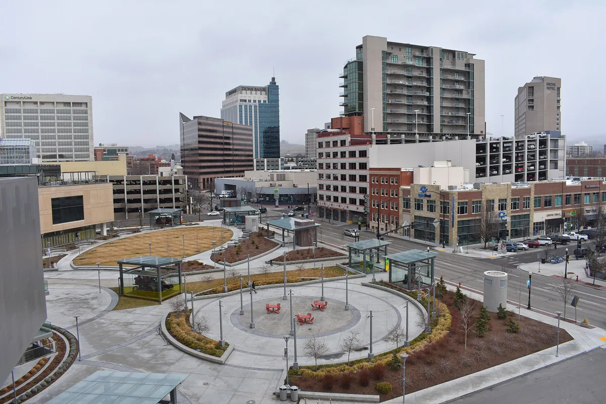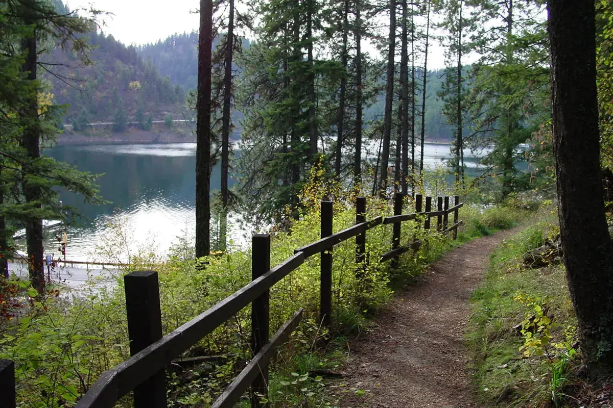
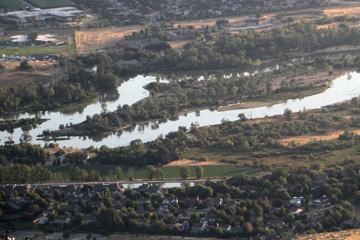
The Boise River Greenbelt is a tree-lined riverside pathway linking parks and neighborhoods through Boise. Walk a short section, take a longer bike ride, or use it to connect a park visit with downtown. The City of Boise currently describes its Greenbelt as a 29-mile pathway along both sides of the river; that is not a requirement to tackle one continuous end-to-end route.
For a first visit, choose a named park access point and a simple out-and-back. The city's Greenbelt page has printable and interactive maps. Use those rather than an old mileage claim or a route screenshot without bridge names. Browse our Idaho things-to-do guide for other stops to build around it.
Where should you start?
The riverside park system is often called the Ribbon of Jewels. Starting at a park makes it easier to identify your return point and find mapped parking. Julia Davis Park and Ann Morrison Park are useful names to locate on the city map when planning a central Boise visit. Choose the bank and bridge crossings deliberately instead of assuming that every riverside path goes where you intend.
For a relaxed walk, pick a turnaround landmark before you start. A bridge, park entrance or signed junction is easier to recognize than an estimated distance. Keep your first route compact if you are arriving with children or fitting the walk between other activities. Our Boise things-to-do guide helps pair river time with the rest of the city.
Three ways to plan a Greenbelt outing
- Short walk: Start at a mapped park, follow one bank and return the way you came. This avoids committing to a bridge loop before you know the path.
- Park-to-park ride: Choose two parks on the official map, check the connection and identify a turnaround. Leave time for busy sections rather than treating it as a training route.
- Nature-focused walk: Select a pedestrian section intentionally. Boise's non-paved Greenbelt sections, including the Bethine Church Trail, are pedestrian-only.
These are planning formats, not measured routes. Confirm the exact distance, access and open segments on the city map before choosing how far to go. For a separate foothills outing, compare Table Rock or the broader hikes near Boise guide rather than expecting a riverside path to offer the same experience.
Walking and cycling etiquette
Pedestrians have the right-of-way. Stay alert, keep to a predictable line and leave space for other users. The city's guidance asks riders to announce a pass with “on your left” or a bell. Slow down before a crowded stretch rather than sounding a warning at the last instant.
The Greenbelt serves people walking, riding, using mobility devices and traveling for everyday transportation. It is not a closed cycling course. The city does not post a blanket speed limit in its etiquette guidance; instead, users on wheels must maintain speeds safe for conditions. Tree roots, corners and people entering from parks all deserve attention.
If you stop for a photograph, route check or snack, move completely off the travel lane where it is safe to do so. Keep children close at crossings and discuss how to respond to a passing cyclist before setting off. Wear a helmet when riding and do not let headphones prevent you from hearing other users.
Dogs, opening hours and access details
The city lists Greenbelt hours as sunrise to sunset. Dogs are allowed on a leash no longer than eight feet. Keep the leash from stretching across the path and clean up after your dog. These rules are worth checking again on the official etiquette page before a visit.
Do not infer that the entire system has identical surfaces, grades, crossings or accessibility. Review the particular park and segment you intend to use, especially if you need a step-free approach, nearby facilities or a specific parking arrangement. The city map is the right starting point for access planning, not a guarantee that every entrance suits every visitor.
Weather, river conditions and closures
Check Boise's Know Before You Go resources for roadwork, Greenbelt projects and detours. Use the date filter where available, and obey barricades even if a mapping app continues to route through a closed segment. Conditions can change between planning and arrival.
Carry water and sun protection, adjust your outing to the weather and turn back if the surface becomes unsafe. A Greenbelt visit is a land-based outing; it does not establish that the river is safe to enter or float. Treat any river activity as a separate plan with current official safety information.
What to do afterward
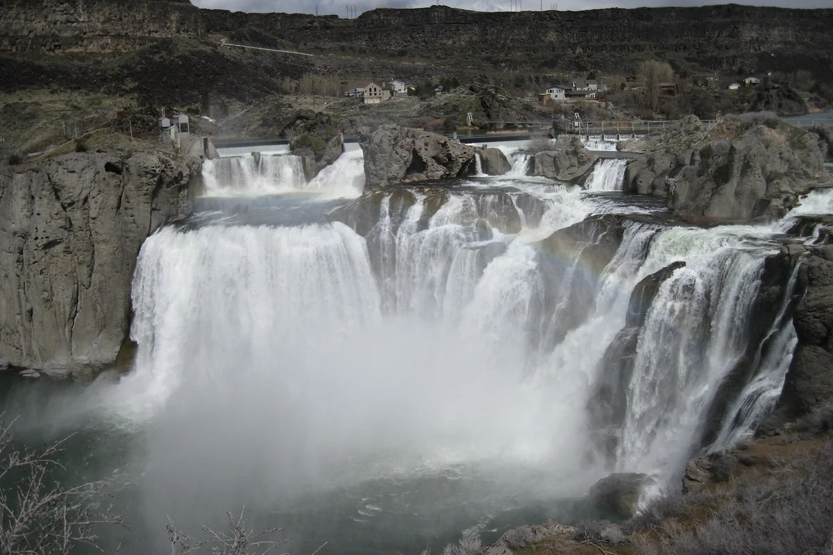
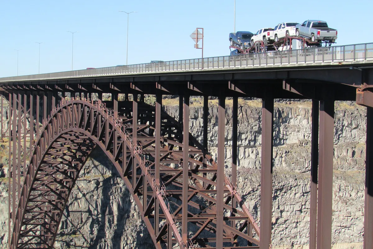
Keep the rest of the day geographically simple. Return to your starting park before branching off for food or another attraction, especially if you have left a vehicle there. Our Boise town guide provides the broader base plan, while free things to do in Boise offers additional city ideas. On a statewide trip, compare different river scenery at Shoshone Falls or Perrine Bridge, both separate destinations rather than Greenbelt extensions.