The best hikes in Idaho are not all high-mileage mountain routes. A short walk through lava, a forest loop above Lake Coeur d'Alene, and a long climb to Sawtooth Lake serve different travelers. This selection favors distinctive landscapes and clearly defined outings, so you can choose a hike that fits your base, time, and experience rather than chase a single statewide ranking.
Sawtooth access notice: The Grandjean campground and trailhead are closed for the foreseeable future under a July 23, 2026 order following debris flows. Do not substitute Grandjean for the trailheads described below. Review current Sawtooth National Forest alerts before choosing a mountain route.
Use our Idaho hiking hub for the wider trail collection. Distances below come from the managing agency or the Sawtooth Interpretive & Historical Association, a Forest Service trail-information partner. They describe specific routes, not every possible variation. Check current conditions before travel; none of these descriptions is a claim that a trail is open today.
Compare these Idaho hikes
| Hike | Published distance | Climbing | Choose it for |
|---|---|---|---|
| Mineral Ridge | 3.3-mile trail circuit | 660-foot rise to summit | Forest and lake viewpoints |
| Fishhook Creek | 4.2 miles round trip | 300 feet of gain | A gentler Sawtooth outing |
| Sawtooth Lake | 10 miles round trip | 1,800 feet of gain | A substantial alpine day |
| Alice Lake | 11.6 miles round trip | 1,600 feet of gain | A long lake hike with stream crossings |
| Broken Top Loop | 1.8-mile loop | 242 feet of gain | Volcanic terrain |
| John Muir Interpretive Loop | 1-mile loop | Park brochure rates it easy | A short eastern Idaho nature walk |
1. Mineral Ridge for northern Idaho lake views
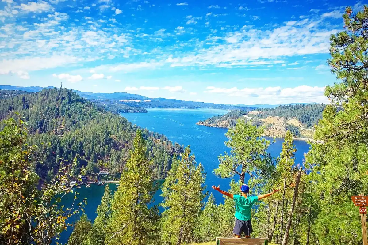
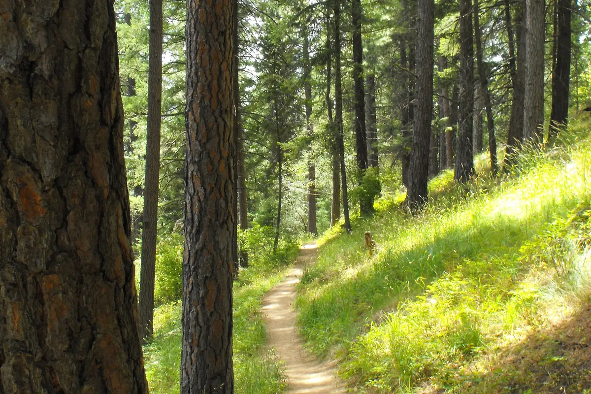
Mineral Ridge combines a manageable distance with a real climb above Lake Coeur d'Alene. The BLM lists a 3.3-mile trail and an interpretive guide with 22 marked stations. Its brochure describes a 660-foot rise from the parking lot to the summit, which helps explain why this is more than a flat lakeside stroll.
Start at the Mineral Ridge Scenic Area off Idaho 97, southeast of Coeur d'Alene. Take time for the forest interpretation rather than measuring the outing only by the viewpoint. The BLM provides paved trailhead parking and picnic facilities, but accessible facilities at the start do not make the entire climbing trail accessible. Consult the current BLM site information for rules and access, especially when ice or snow is possible.
2. Fishhook Creek for a gentler Sawtooth introduction
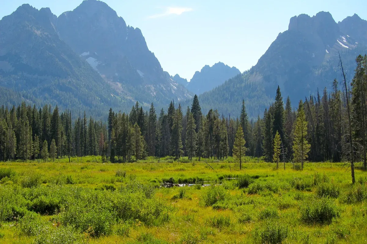
Fishhook Creek is a useful choice when you want mountain scenery without the commitment of a high lake climb. The interpretive association lists 4.2 miles round trip and 300 feet of elevation gain from Redfish Trailhead. Meadows, beaver ponds, and views toward Horstman Peak give the walk a destination without requiring a summit.
Do not confuse it with the separate quarter-mile Fishhook Creek Nature Trail at the Redfish Visitor Center. They are different outings. The longer route uses a busy trailhead, so have a parking backup and stay off roadside vegetation. If continuing into wilderness, complete the required permit. Keep to established paths near wet ground rather than widening the trail around muddy edges.
3. Sawtooth Lake for a full mountain hiking day
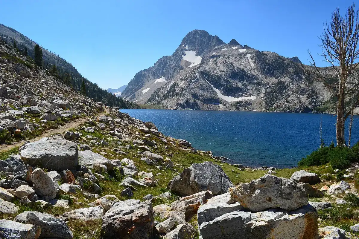
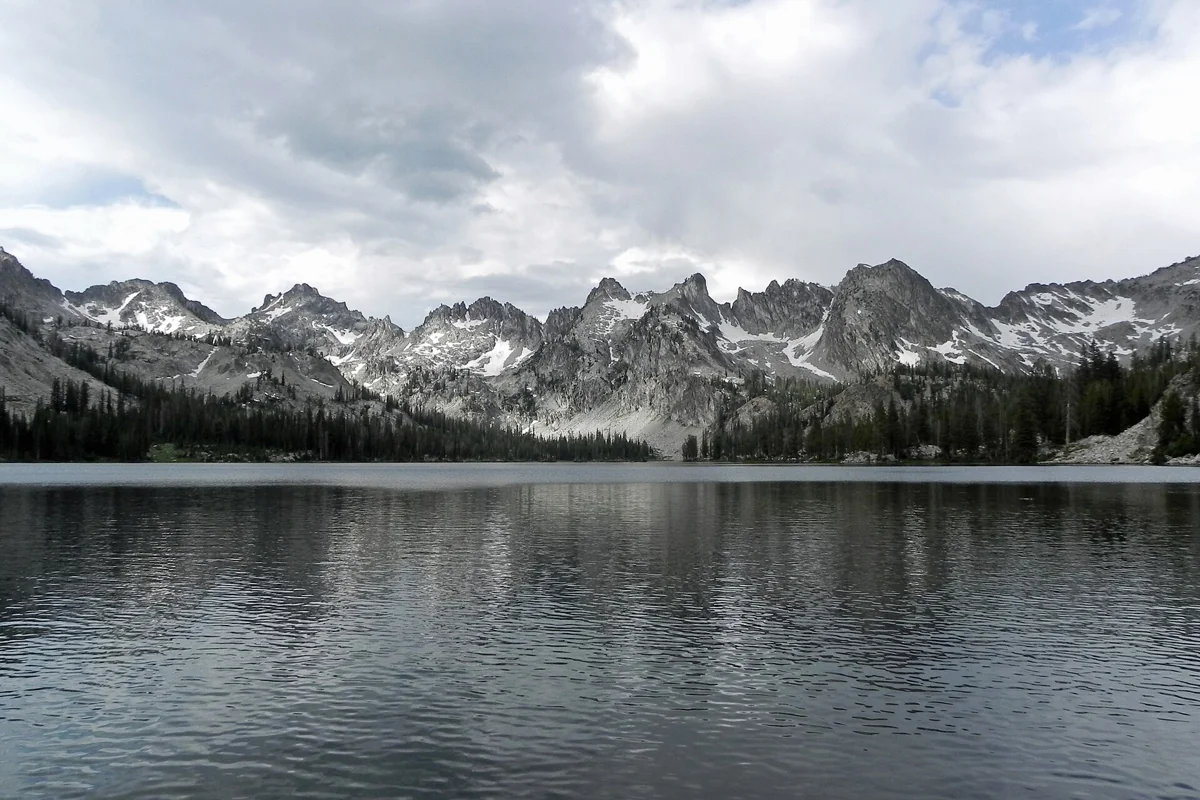
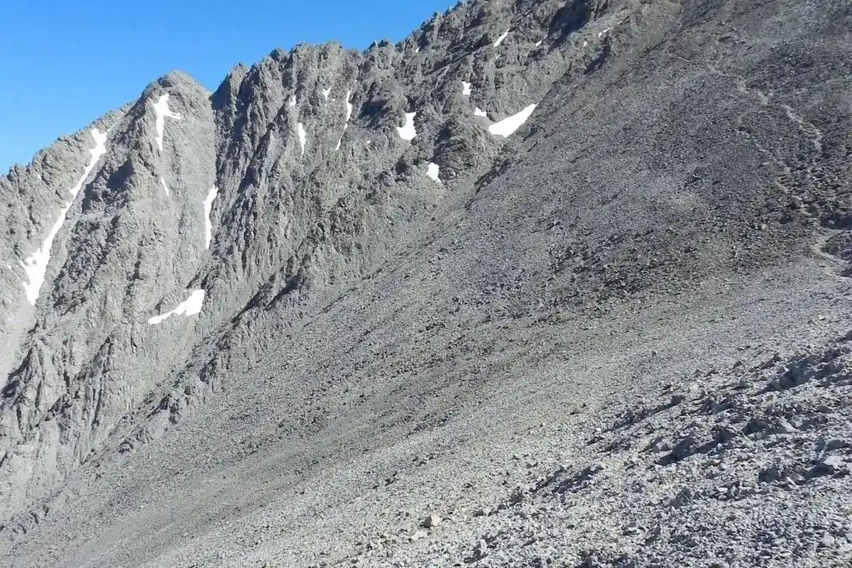
The Sawtooth Lake hike from Iron Creek is the choice here for a sustained climb into a high alpine basin. The partner's route figures are 10 miles round trip and 1,800 feet of gain. The approach passes Alpine Lake before climbing farther to Sawtooth Lake, where Mount Regan frames the far end of the water.
Choose this after you know your group handles similar mileage comfortably. Start with a weather plan, a turnaround time, and enough supplies for the return. Snow can complicate upper terrain even when the lower approach seems straightforward. A free wilderness permit is required, and wilderness trail dogs must be leashed July 1 through Labor Day. Alpine Lake provides a shorter objective, but its eight-mile round trip is still a substantial outing.
4. Alice Lake for experienced day hikers
Alice Lake starts at Pettit Lake's Tin Cup Trailhead and is listed at 11.6 miles round trip with 1,600 feet of gain. Its length makes it a separate choice from the easier Redfish-area walks, not something to tack onto a leisurely sightseeing day. Several stream crossings add a planning issue that mileage alone does not capture.
The interpretive association warns of swift, cold water in spring and early summer and advises expecting wet feet year-round. Turn around if a crossing exceeds your abilities; reaching the lake never justifies a dangerous ford. You need a free wilderness permit. Campfires are prohibited in the Alice and Toxaway drainages, and overnight visitors should research the full wilderness rules rather than assuming a day-hike description covers camping.
5. Broken Top Loop for Idaho's volcanic side
At Craters of the Moon, the 1.8-mile Broken Top Loop offers a sharp change from forest and alpine lakes. The National Park Service describes a route around a cinder cone, with cinders, lava, and irregular footing. Short mileage does not mean smooth pavement or shade.
Use the Tree Molds trailhead area and check Loop Road access before driving to the monument. Carry water, wear sturdy footwear, and plan for exposed conditions rather than treating the walk as a casual roadside stop. Pets are not allowed on park trails. Cave exploration is a different activity with separate permit and equipment requirements; a nearby cave symbol on a map is not permission to enter.
6. John Muir Interpretive Loop for a short eastern Idaho walk
Harriman State Park offers a gentler alternative to the long Sawtooth routes. Its official summer brochure lists the John Muir Interpretive Loop as a one-mile easy trail, introducing Muir's connection with Railroad Ranch along with the park's ecosystems, wildlife, and geology. Begin your planning with the visitor center and the park's trail map.
This is a wildlife refuge setting, so give animals space and do not expect a guaranteed sighting. Pets are restricted to parking areas next to vehicles and cannot join you on the trails. Summer walking routes and winter recreation conditions are not interchangeable; check the park's seasonal notices and current day-use fees before setting out.
Match the hike to the season and your group
For summer alpine hiking, investigate actual snow and creek conditions rather than trusting the calendar. For lower trails, consider heat, mud, ice, and smoke. The best option is the route with suitable conditions that everyone in your party can finish comfortably. Dog policies differ sharply between wilderness, national park trails, and wildlife refuges, so check the specific destination before bringing a pet.
Around Stanley, compare more Sawtooth hikes and use Stanley as a planning base. Around the capital, our hikes near Boise guide keeps the choices geographically focused. Idaho is too large to improve a hiking day by adding hours of driving simply to reach a better-known trail.
Questions before you go
Which hike here is best for a shorter outing?
The one-mile John Muir Interpretive Loop at Harriman is rated easy in the park brochure. Fishhook Creek is a longer but gentler Sawtooth option at 4.2 miles round trip.
Do Idaho hikes require permits?
Some do. All Sawtooth Wilderness users need a free wilderness permit. Other destinations have different entry requirements and fees; consult the managing agency.
Can dogs go on all these hikes?
No. Craters of the Moon does not allow pets on trails, and Harriman restricts pets to parking areas. Sawtooth Wilderness has a seasonal trail leash requirement.
Sources & planning resources
- BLM: Mineral Ridge Scenic Area and National Recreation Trail
- BLM: Mineral Ridge Trail Guide, elevation and trail stations
- Sawtooth Interpretive & Historical Association: Fishhook Creek
- Sawtooth Interpretive & Historical Association: Fishhook Creek Nature Trail
- Sawtooth Interpretive & Historical Association: Sawtooth Lake
- Sawtooth Interpretive & Historical Association: Alpine Lake
- Sawtooth Interpretive & Historical Association: Alice Lake
- USFS: Sawtooth Wilderness Regulations
- NPS: Hike Broken Top Loop, distance, gain and trailhead
- NPS: Trail surface and accessibility details
- NPS: Cave access and pet restrictions
- Idaho State Parks: Harriman
- Idaho State Parks: Harriman Summer Trails Brochure
- USFS: Grandjean Area, Road, and Trail Closure
- USFS: Sawtooth National Forest current alerts